Erlspitze, Mountain summit in Tyrol, Austria
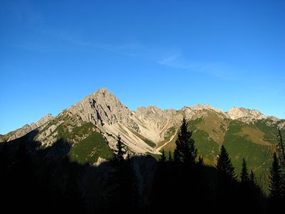
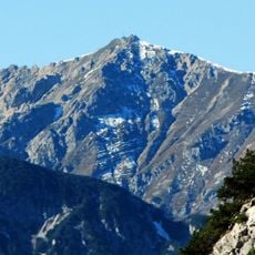
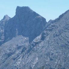
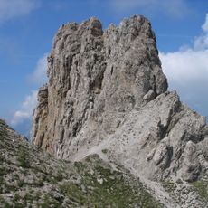
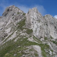
Erlspitze is a mountain summit in Tyrol, Austria, reaching 2,405 meters and composed of dolomite rock. Its distinctive pyramid shape is formed by three prominent ridges that mark the southwestern corner of the Karwendel range.
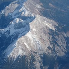
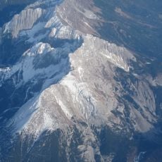
The mountain formed over millions of years as part of the Northern Alps, with its dolomite composition reflecting the geological processes that shaped the alpine chain. Its structure tells the story of ancient tectonic movements and rock formation in this region.
The peak serves as a recognizable landmark for mountaineers exploring the region, and its distinctive pyramid shape makes it a visual reference point in the local alpine landscape. Climbers often use it as a navigation marker when moving between different routes.
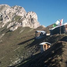
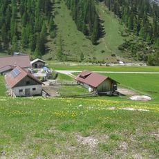
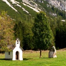
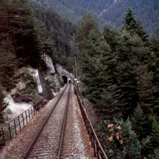
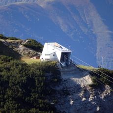
Visitors can reach the summit through marked trails beginning from Innsbruck, with the Solsteinhaus mountain hut available as a base for the ascent. The route requires good fitness and appropriate gear for mountain terrain.
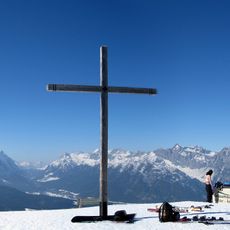
From its triangular peak, an unobstructed panorama reveals the alpine main ridge and surrounding mountain chains in all directions. This vantage point allows visitors to see how this summit fits into the larger mountain landscape.
The community of curious travelers
AroundUs brings together thousands of curated places, local tips, and hidden gems, enriched daily by 60,000 contributors worldwide.