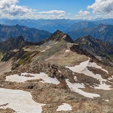
Ralfkopf, Alpine summit in Lienz District, Austria
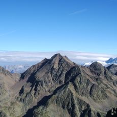
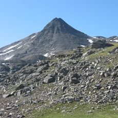
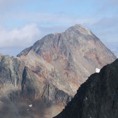
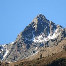
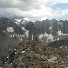
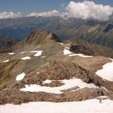
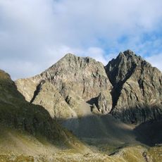
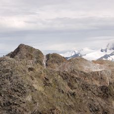
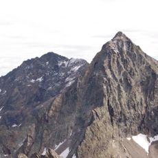
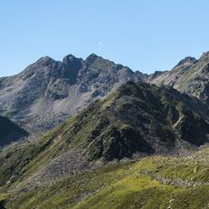
Ralfkopf is a mountain summit in the Schobergruppe range, rising to 3106 meters above sea level. Its eastern and northern sides drop steeply, creating a distinct profile in this alpine terrain.
Ludwig Purtscheller made the first documented ascent of Ralfkopf on 24 July 1890. The peak lies on the border between the municipalities of Nußdorf-Debant and Kals am Großglockner in the Schobergruppe of East Tyrol. Its neighbours are the Ganot to the west and the Debantgrat to the south.
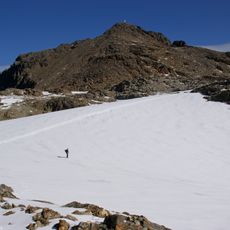
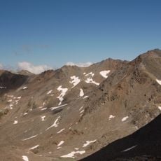
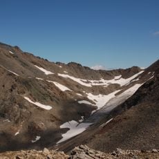
The summit marks the municipal border between Nußdorf-Debant and Kals am Großglockner. The normal route begins at Lesachalmhütte and follows the Ralftal valley toward the Schobertörl, branching left before the Schoberkees onto the Ralfkees. The final climb runs briefly along the southwest ridge at grade I.
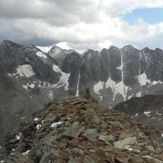
The main climbing route starts at Lesachalmhütte and passes through Ralftal before reaching Schobertörl and the southwest ridge. Climbers should expect rocky sections and steep terrain that demand solid mountaineering skills.
The southeast ridge and the southeast face pillar, both graded III to IV, are often combined with an ascent of the neighbouring Ganot. The normal route, by contrast, is unmarked and reaches the summit over the southwest ridge at grade I.
The community of curious travelers
AroundUs brings together thousands of curated places, local tips, and hidden gems, enriched daily by 93,745 contributors worldwide.