
Nussdorfer Steg
Location: Vienna
Inception: 1999
Official opening: November 12, 1999
GPS coordinates: 48.25140,16.37190
Latest update: March 10, 2025 13:17
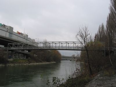
Nussdorfer Brücke
40 m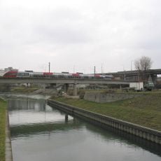
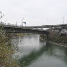
Vorortelinie-Donaukanalbrücke
445 m
Knoten Nussdorf
161 m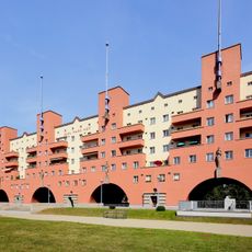
Karl Marx-Hof
535 m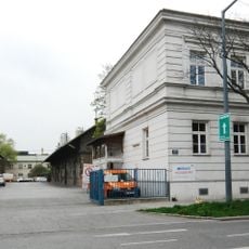
Slaughterhouse Nussdorf
499 m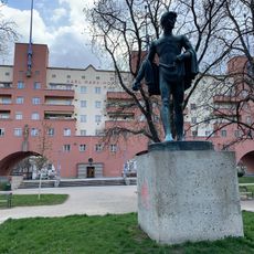
12.-Februar-Park
644 m
Wohnhausanlage Heiligenstädter Straße 141-145
618 m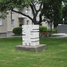
Figur
344 m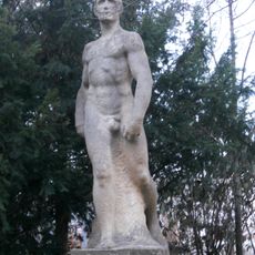
Figur, Schreitender
691 m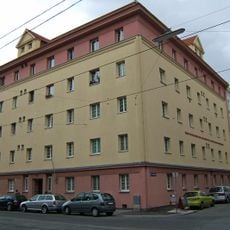
Kommunaler Wohnbau
669 m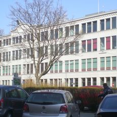
Hauptgebäude der ehem. Zigarettenpapierfabrik Samum
437 m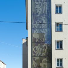
Wohnhausanlage Boschstraße 20-22
459 m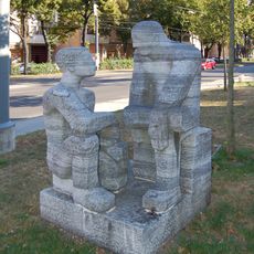
Plastik Sitzende
612 m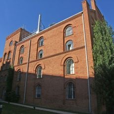
Ehem. dampfbetriebenes Elektrizitätswerk
259 m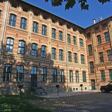
Ehem. Handschuhfabrik Zacharias
660 m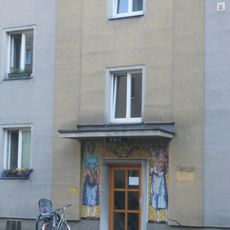
Mira-Lobe-Hof
419 m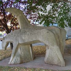
Kunst am Bau
648 m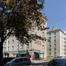
Wohnhausanlage Griegstraße 1–3
370 m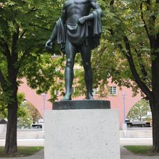
Sämann 1920 Otto Hofner Karl-Marx-Hof
643 m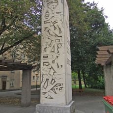
Kunst-am-Bau, Stele
666 m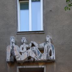
Hauszeichen, Relief
702 m
Kindergarten
574 m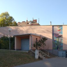
Volksheim Heiligenstädter Straße
633 m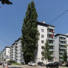
Wohnhausanlage Kapaunplatz 7
557 m
Wohnhausanlage Kapaunplatz 4–6
539 m
Kommunaler Wohnbau
496 m
Wohnhausanlage Heiligenstädter Straße 163
683 m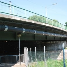
Nussdorfer Schleusenbrücke
589 mReviews
Visited this place? Tap the stars to rate it and share your experience / photos with the community! Try now! You can cancel it anytime.
Discover hidden gems everywhere you go!
From secret cafés to breathtaking viewpoints, skip the crowded tourist spots and find places that match your style. Our app makes it easy with voice search, smart filtering, route optimization, and insider tips from travelers worldwide. Download now for the complete mobile experience.

A unique approach to discovering new places❞
— Le Figaro
All the places worth exploring❞
— France Info
A tailor-made excursion in just a few clicks❞
— 20 Minutes