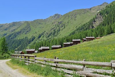
Oberstalleralm, Mountain pasture and heritage site in Innervillgraten, Austria
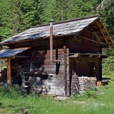
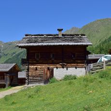
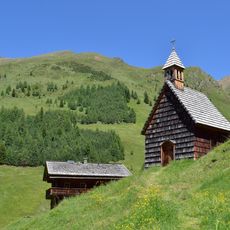
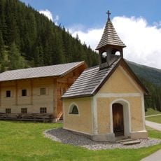
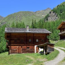
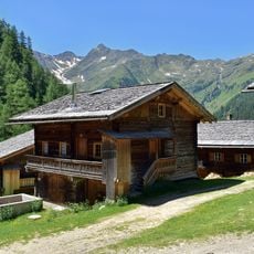
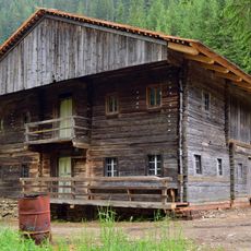
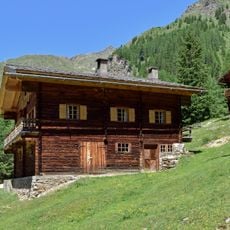
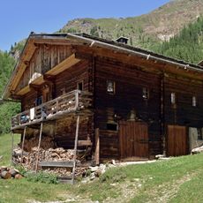
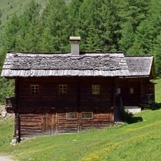
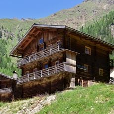
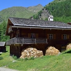
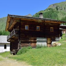
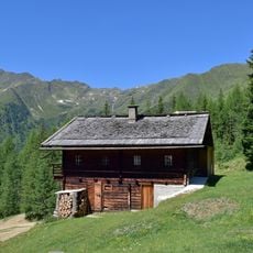
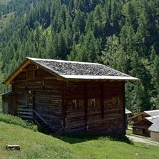
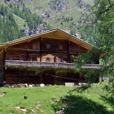
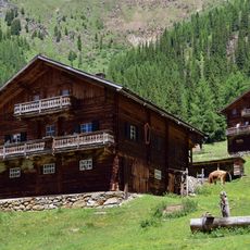
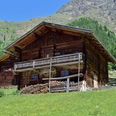
Oberstalleralm is a mountain pasture settlement at roughly 1864 meters elevation near the start of Arntal valley, containing 16 alpine huts and a small chapel. The site displays traditional timber construction characteristic of Tyrolean mountain settlements and functions as a summer location for herding and holiday stays.
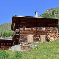
The settlement developed as a traditional alpine pasture for livestock herding in the Tyrolean mountains, with some log cabins dating to the 19th century. Three of the structures were rebuilt or newly constructed during the latter half of the 20th century following regional building methods.
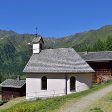
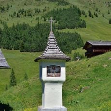
The guardian angel chapel serves as a spiritual focal point for those who live and work in this mountain settlement. The presence of this small place of worship reflects the deep religious ties that shape daily life in this remote alpine community.
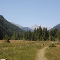
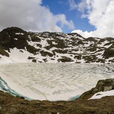
The settlement is reached via a valley road that runs from Innervillgraten through the lower pasture areas, making vehicle access straightforward. Walking trails from the location lead to nearby mountain summits and connect to broader hiking networks in the region.
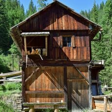
The alpine huts were originally designed with living quarters and livestock areas shared under one roof, a building approach still visible in some structures. This close arrangement reflects how shepherds and animals worked together as part of the mountain economy.
The community of curious travelers
AroundUs brings together thousands of curated places, local tips, and hidden gems, enriched daily by 60,000 contributors worldwide.