
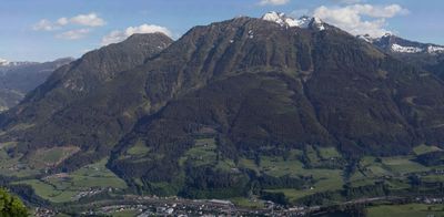
Tennkogel, mountain in the Ankogel Group in Salzburg (municipalities St. Veit and Großarl)
Location: Grossarl
Location: Sankt Veit im Pongau
Elevation above the sea: 1,975 m
GPS coordinates: 47.29053,13.18565
Latest update: March 6, 2025 02:14
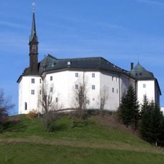
Schloss Schernberg
5.2 km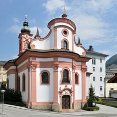
Spitalskaplaneikirche
4.3 km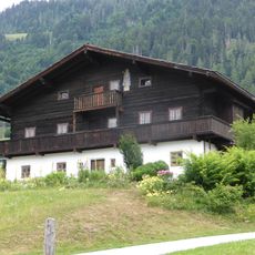
Seelackenmuseum
5 km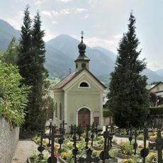
Cemetery chapel, Schwarzach im Pongau
4.3 km
Heukareck
1.6 km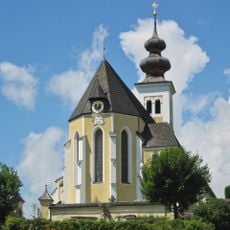
Veitskirche
5 km
Burgstall Plankenau
3.8 km
Gernkogel
4.3 km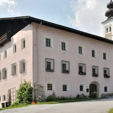
Parochial House Sankt Veit im Pongau
4.9 km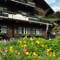
Breitenebenalm
5.4 km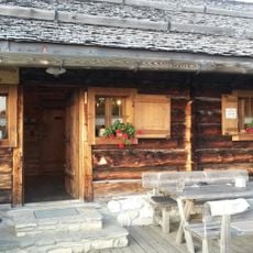
Saukaralm
5 km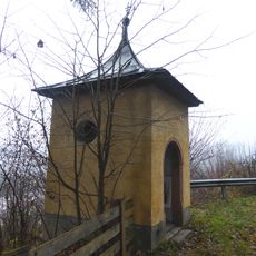
Wayside chapel Wagrainer Straße, St. Johann im Pongau
6.1 km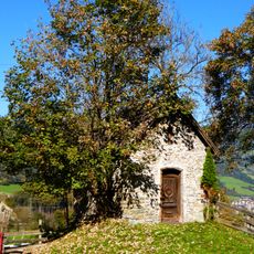
Marienkapelle
4.1 km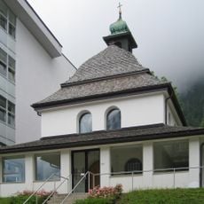
Chapel of hosptial Sankt Veit im Pongau
4.9 km
Gern
4.4 km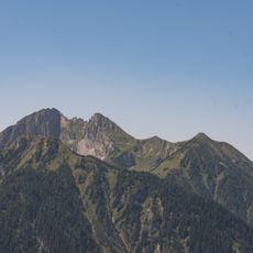
Höllwand
1.8 km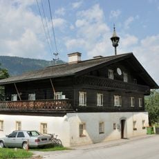
Bauernhaus, Urfahrgut
4.1 km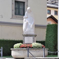
Kriegerdenkmal
4.3 km
Alte Wacht
2 km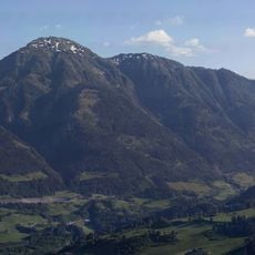
Haßeck
4.9 km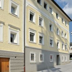
Ehemaliges Missionshaus Schwarzach
4.3 km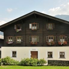
Mesnerhaus Sankt Veit im Pongau
4.9 km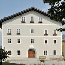
Steinwendthaus
4.9 km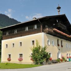
Bauernhof (Anlage), Wimmgut
4.6 km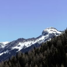
Saukarkopf
5.4 km
Sandkogel
1.8 km
Hochegg
4.1 km
Gemeindeamt Großarl
5.9 kmVisited this place? Tap the stars to rate it and share your experience / photos with the community! Try now! You can cancel it anytime.
Discover hidden gems everywhere you go!
From secret cafés to breathtaking viewpoints, skip the crowded tourist spots and find places that match your style. Our app makes it easy with voice search, smart filtering, route optimization, and insider tips from travelers worldwide. Download now for the complete mobile experience.

A unique approach to discovering new places❞
— Le Figaro
All the places worth exploring❞
— France Info
A tailor-made excursion in just a few clicks❞
— 20 Minutes