
Vordere Platteinspitze, mountain in den Lechtal Alps in Tyrol
Location: Imst
Elevation above the sea: 2,562 m
GPS coordinates: 47.26983,10.69137
Latest update: March 8, 2025 12:25
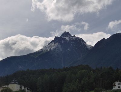

Lechtal Alps
19.3 km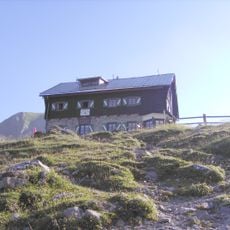
Anhalter Hütte
3.9 km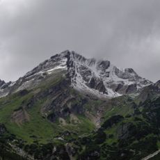
Imster Muttekopf
3 km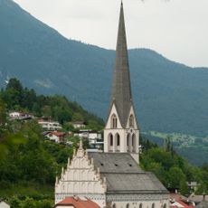
Pfarrkirche Mariä Himmelfahrt
4.5 km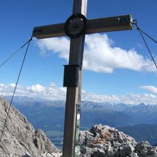
Maldonkopf
1.7 km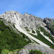
Hintere Platteinspitze
1.1 km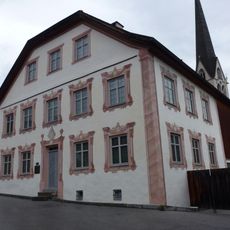
Imster Fasnachtshaus
4.5 km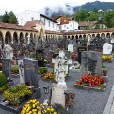
Old cemetery Imst
4.5 km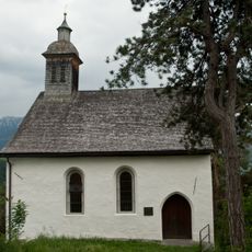
Laurentiuskirche
4.6 km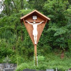
Kruzifix am Neuen Friedhof
4.5 km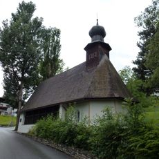
Pestkapelle/Hl. Grabkirche
4.4 km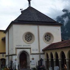
Michaelskapelle/Kriegergedächtnisstätte
4.6 km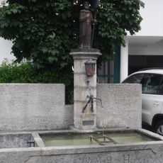
Gallusbrunnen Imst
4.5 km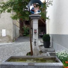
Marienbrunnen
4.6 km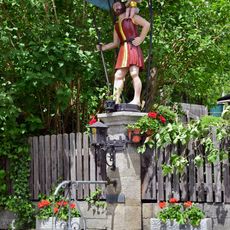
Christophorusbrunnen Lehngasse
4.5 km
Schutzengelbrunnen Lehngasse
4.3 km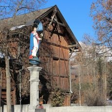
Immaculatabrunnen
4.6 km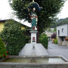
Martinsbrunnen
4.5 km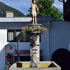
Sebastianbrunnen
4.6 km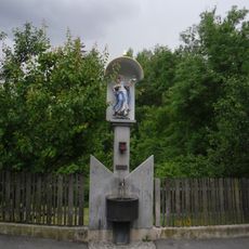
Immaculatabrunnen
4.3 km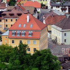
Alte Volksschule Imst
4.6 km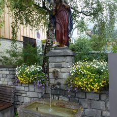
Guter Hirte-Brunnen
4.6 km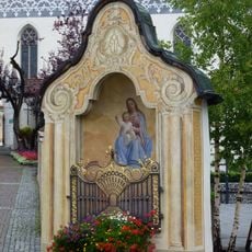
Wayside shrine Pfarrgasse, Imst
4.6 km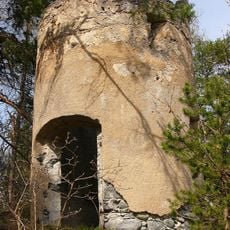
Pulverturm
4.6 km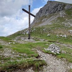
Steinjöchle
3.5 km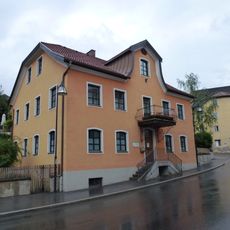
Bürgerhaus
4.6 km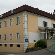
Widum
4.6 km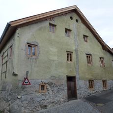
Wohnhaus
4.5 kmReviews
Visited this place? Tap the stars to rate it and share your experience / photos with the community! Try now! You can cancel it anytime.
Discover hidden gems everywhere you go!
From secret cafés to breathtaking viewpoints, skip the crowded tourist spots and find places that match your style. Our app makes it easy with voice search, smart filtering, route optimization, and insider tips from travelers worldwide. Download now for the complete mobile experience.

A unique approach to discovering new places❞
— Le Figaro
All the places worth exploring❞
— France Info
A tailor-made excursion in just a few clicks❞
— 20 Minutes