Anhalter Hütte, Mountain hut at Lechtal Alps, Austria.
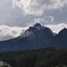
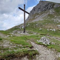
Anhalter Hütte is a mountain shelter located at 2042 meters (6706 feet) in the Lechtal Alps beneath Heiterwand mountain's north face. The building provides lodging and meals to hikers traveling through the high Alpine region.
The shelter was built in 1912 by the Anhalt Section of the German Alpine Club following careful site selection in the Alps starting in 1906. Its construction reflects the growing interest in mountain refuge infrastructure during the early 1900s.
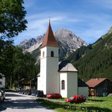
The hut serves as a meeting place for hikers on the Lechtal High Trail and offers traditional mountain hospitality with warm meals and local character. Visitors experience how the building connects people passing through the Alps and maintains customs of mountain inn culture.
Visitors can reach the shelter from Hahntennjoch in approximately 1.5 hours or from Namlos and Bschlabs in approximately 3 hours via marked trails. The building operates from mid-June through September and provides beds, meals, and drinks during that season.
The shelter generates its own electricity through solar panels and a small power plant, making it independent of external power lines. Water comes from an on-site well, highlighting how the building operates without any road connection for utilities.
The community of curious travelers
AroundUs brings together thousands of curated places, local tips, and hidden gems, enriched daily by 60,000 contributors worldwide.