
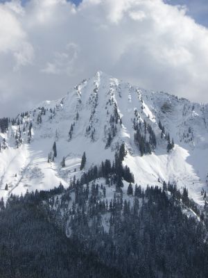
Hochgerach, mountain in the Bregenz Forest Mountains in Vorarlberg
Location: Thüringerberg
Location: Laterns
Location: Schnifis
Elevation above the sea: 1,975 m
GPS coordinates: 47.23692,9.75662
Latest update: March 4, 2025 14:18
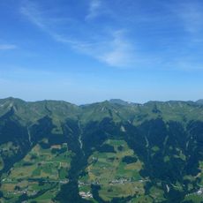
Gruppo del Walser
1.6 km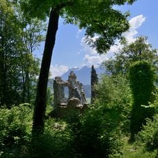
Burgruine Blumenegg
4.1 km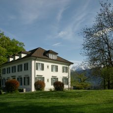
Villa Falkenhorst
4 km
Bad Innerlaterns
4 km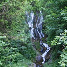
Montjola-Wasserfall
3.8 km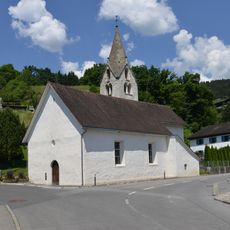
Filialkirche hl. Nikolaus in Zitz, Bludesch
4.1 km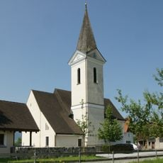
Pfarrkirche Hl. Antonius Abt (Düns)
3.3 km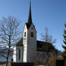
Pfarrkirche hl. Johannes dem Täufer
3.5 km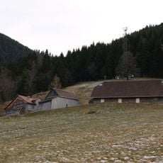
Wies
4.1 km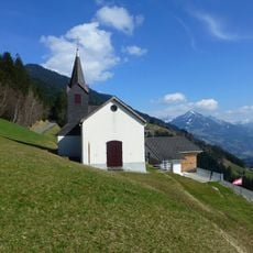
Benediktskapelle
3.1 km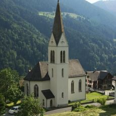
Expositurkirche Unsere Liebe Frau Mariahilf
2.5 km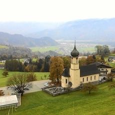
Pfarrkirche Hl. Andreas
3.1 km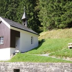
Wegkapelle hll Maria und Antonius
4 km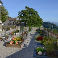
Friedhof
3.3 km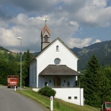
Kapelle 'Maria Schnee' in Laterns-Bonacker
3.6 km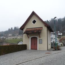
Lourdeskapelle
4.1 km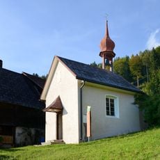
Kapelle hl. Wolfgang
2.1 km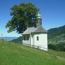
Martinskapelle
4 km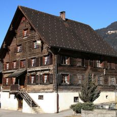
Rheintalhof Schnifis
3.4 km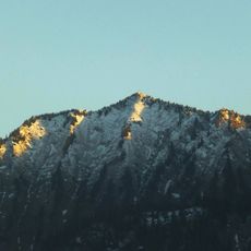
Tälispitze
1.6 km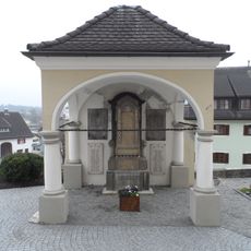
Kriegerdenkmal
4.1 km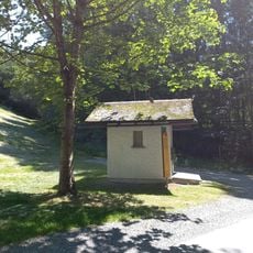
Bildstoeckle beim Schnifner Tobel
3.2 km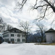
Gartenpavillon
3.9 km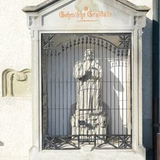
Gohmsche Grabstätte
3.3 km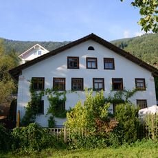
Wohnhaus, Alte Mühle
3.5 km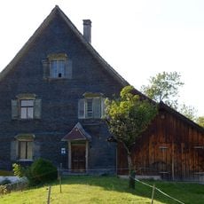
Pfarrhof
3.4 km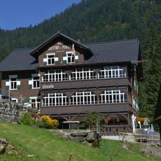
Gasthaus Bad Laterns
4 km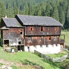
Badehaus Laterns
4 kmReviews
Visited this place? Tap the stars to rate it and share your experience / photos with the community! Try now! You can cancel it anytime.
Discover hidden gems everywhere you go!
From secret cafés to breathtaking viewpoints, skip the crowded tourist spots and find places that match your style. Our app makes it easy with voice search, smart filtering, route optimization, and insider tips from travelers worldwide. Download now for the complete mobile experience.

A unique approach to discovering new places❞
— Le Figaro
All the places worth exploring❞
— France Info
A tailor-made excursion in just a few clicks❞
— 20 Minutes