Gruppo del Walser, Mountain range in Vorarlberg, Austria
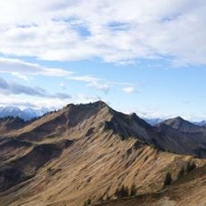
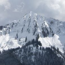
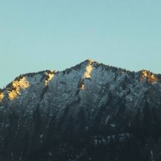
The Walser Group is an alpine subgroup located in the Bregenz Forest Mountains between the Walgau valley and the Lower Grosswalsertal. The ridge features a mix of grassy pastures on the southern side and rocky, forested slopes facing north.
The Walserkamm is built of Flysch sandstone, not limestone, and belongs to the Rhenodanubian Flysch zone of the Alps. Its layers dip about 50 degrees to the south, which gives the ridge its shape. Large, smooth, steep cirques on the south side carry a high avalanche risk; the Blons avalanche disaster of 1954 was triggered by large avalanches from these slopes. Steel barriers now protect Thüringerberg above the cirque between Hochgerach and Hüttenkopf.
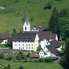
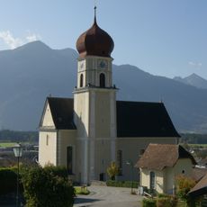
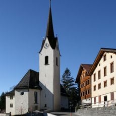
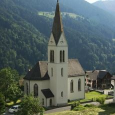
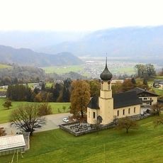
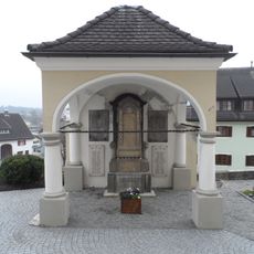
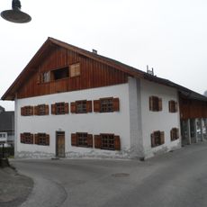
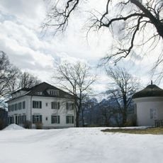
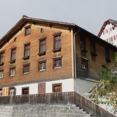
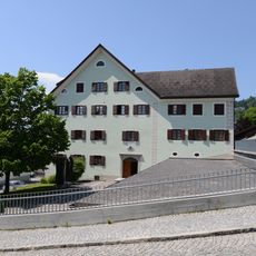
The Walser villages at the southern foot of the ridge — Röns, Düns, Schnifis, Thüringerberg, St. Gerold and Blons — lie on a high plateau, while Raggal across the Lutz is a Walser community. Old pack-horse paths through these villages carry the Red Route of the Via Alpina. The name Walserkamm and Falbengrat goes back to Günther Flaig (AVF 1977), after the small side ridge from Löffelspitz to Falvkopf.
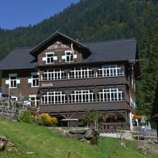
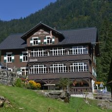
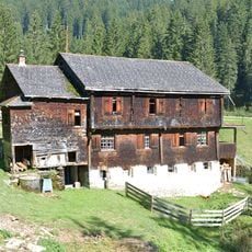
Visitors can follow numerous hiking trails crossing the ridge with varying difficulty levels to suit different abilities. Mountain huts and alpine farms along the route provide rest stops and overnight options for multi-day journeys.
The south face between Hochgerach and Hüttenkopf, and the southeast side of the Hüttenkopf, were fitted with large steel snow fences (Stahlrechen) to hold the avalanche starting zone and protect Thüringerberg. The measure followed the Blons avalanche disaster of 1954, when large avalanches descended the south side of the Walserkamm.
The community of curious travelers
AroundUs brings together thousands of curated places, local tips, and hidden gems, enriched daily by 93,704 contributors worldwide.