Bad Innerlaterns, Architectural ensemble in Laterns, Austria
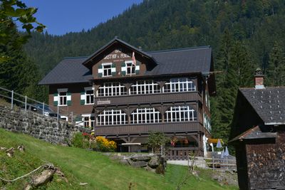
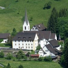
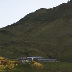
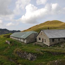
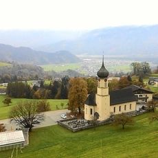
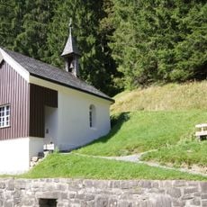
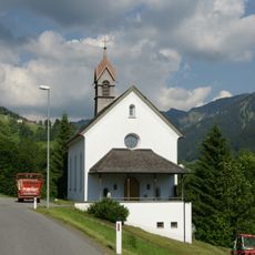
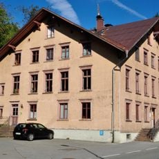
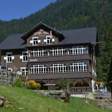
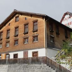
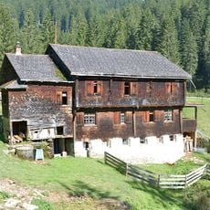
Bad Innerlaterns is an architectural complex in Laterns, Austria, situated at around 1147 meters elevation within the Bregenzerwald mountain range. The site contains several buildings that display traditional alpine design and function as the central hub of village activity.
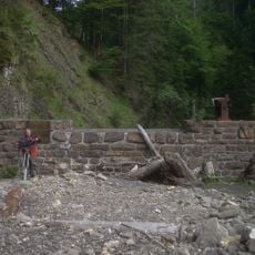
The complex emerged as a central location for the mountain community and reflects the history of settlement development in this alpine region. Its buildings document how people lived and worked across generations at this high elevation.
The ensemble displays traditional alpine building styles that shape the village character and serve as a natural gathering place for locals throughout the year. Visitors can observe how mountain communities organize their shared spaces and use them for daily social connection.
The location is accessible by car but requires advance planning since parking is limited and requires a permit. The best time to visit is from May through October, when roads are snow-free and walking paths are easy to navigate.
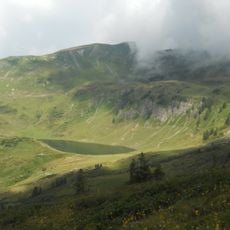
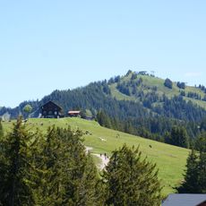
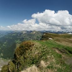
The site sits at an intersection of several hiking trails that lead to different peaks including Gerenspitze and Gerenfalben, offering varied elevation experiences. This trail network makes it possible to explore multiple alpine walks from one central starting point.
The community of curious travelers
AroundUs brings together thousands of curated places, local tips, and hidden gems, enriched daily by 60,000 contributors worldwide.