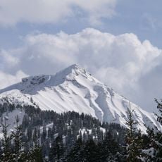
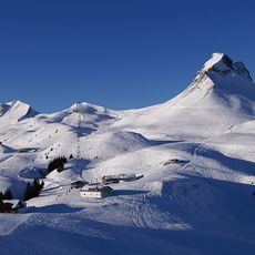
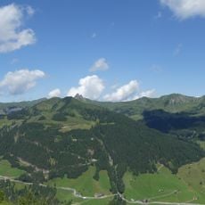
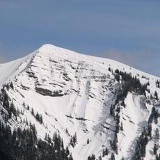
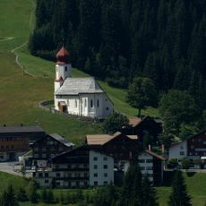
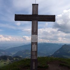
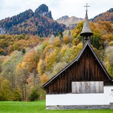
Sünser Spitze, Mountain summit in Dornbirn, Austria.
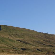
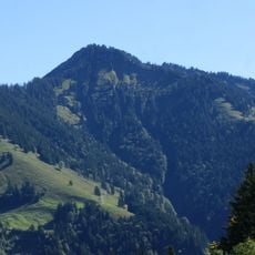
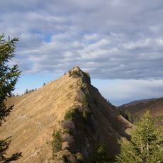
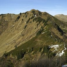
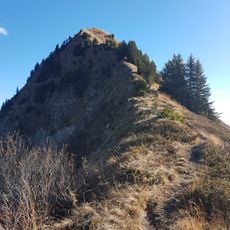
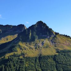
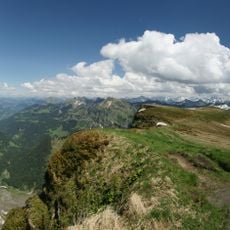
This mountain summit in Dornbirn reaches 2,061 meters and features diverse terrain with both rocky sections and grassy areas along its hiking paths. The routes alternate between steeper pitches and gentler slopes, offering varied walking experiences on the same peak.
The first official map of 1857 labels the peak Fallelei Joch; later maps leave it unnamed. The name Sünser Spitze appears only on the ÖK50 map of 1961–1974, initially with a height of 2062 m. Walther Flaig's Alpine Club guide records the Walser name Sünser Blanken.
The name Süns has no settled origin: Josef Zösmair linked it to the Germanic personal name Sunno, the Roman family name Sunius, or Sinzheim in Baden, once called Sunnesheim. A 1403 document for the neighbouring Sünser Alpe uses "Suniu", Old High German for son. The surname Sinz still occurs in Vorarlberg.
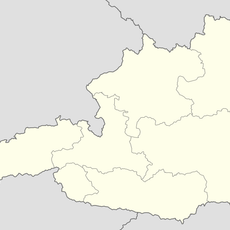
The summit lies on the marked trail above the Sünser See, at the border between Mellau and Dornbirn; the northern side drops in bare rock bands, while the ridge toward the Ragazer Blanken and Hochblanken falls more gently southward. The peak is the highest point in Dornbirn's municipal area, so the final stretch follows the ridge line.
The summit is the highest point in the municipality of Dornbirn, whose centre lies 14.2 km to the north-west, and also the highest peak of the Dornbirn district. On the first official map of 1857 it was labelled Fallelei Joch; the name Sünser Spitze only appears on the ÖK50 map of 1961–1974, at first with a height of 2062 m.
The community of curious travelers
AroundUs brings together thousands of curated places, local tips, and hidden gems, enriched daily by 92,852 contributors worldwide.