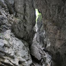
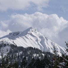
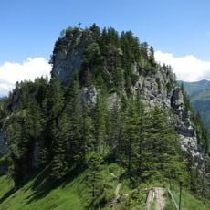
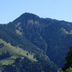
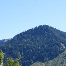
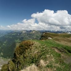
Mörzelspitze, Mountain summit in Dornbirn, Austria.
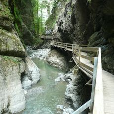
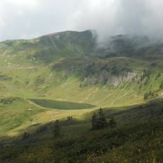
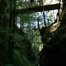
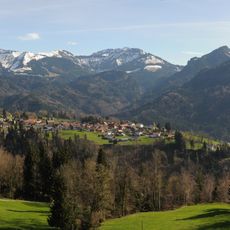
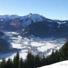
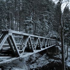
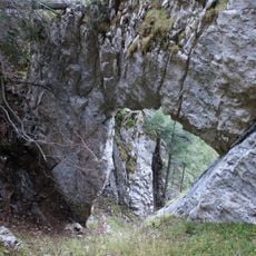
Mörzelspitze is a mountain in the Austrian Alps rising to approximately 1,830 meters and is crossed by several marked hiking routes that pass through different elevation zones. The terrain varies between alpine meadows, forested sections, and open summit areas, with different routes offering varying focuses and viewpoints.
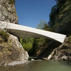
The region around Mörzelspitze was inhabited and used by Vorarlberg communities who practiced Alpine farming and established trade routes across these mountains. These mountain routes connected villages and valleys over centuries and remained central to local mobility and exchange.
The name Mörzelspitze comes from local dialect describing the mountain's pointed shape, and communities in the region have relied on these paths for generations to cross between valleys. Walking the trails today, you experience the same routes that shaped how local people moved through their landscape.
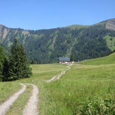
The paths are marked and easy to follow, but require proper hiking boots and physical fitness as elevation gain is substantial. The best time to hike is from June through September, when snow and ice are generally absent and mountain huts are operating.
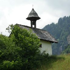
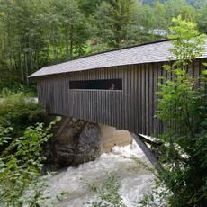
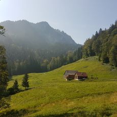
One feature is the Altenhofalpe, a traditional alpine pasture along the way where livestock grazes during summer months, offering visitors insight into alpine farming practices. This hut also provides refreshments and shows how this mountain tradition remains active today.
The community of curious travelers
AroundUs brings together thousands of curated places, local tips, and hidden gems, enriched daily by 60,000 contributors worldwide.