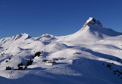
Damülser Mittagsspitze, Mountain summit in Bregenzerwaldgebirge, Austria.
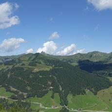
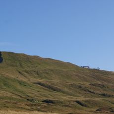
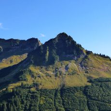
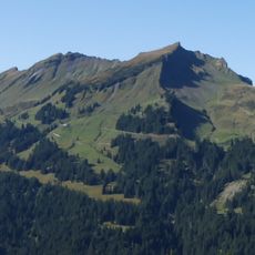
Damülser Mittagsspitze is a summit in the Damülser Berge range, part of the Bregenzerwaldgebirge mountains in Vorarlberg, Austria. With an elevation of 2,095 meters, it stands as a central peak in this region, characterized by distinct zones ranging from forest at lower levels to alpine meadows near the top.
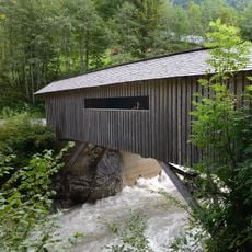
The mountain served as an important waypoint on early alpine trade routes that connected valley communities across the region. These historic pathways gradually developed into the modern hiking trails you can walk today.
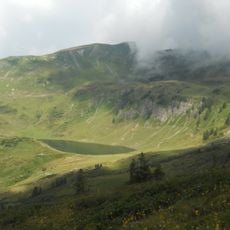
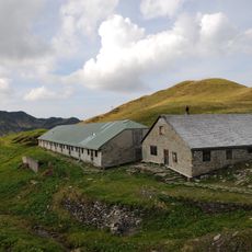
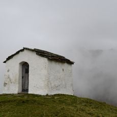
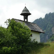
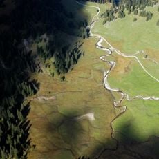
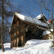
The alpine pastures and huts around the mountain are managed following traditional methods passed down through generations, shaping the landscape you see today. Walking through these meadows, you notice the careful balance between farming and nature that defines the region.
The Uga-Express chairlift brings visitors to 1,830 meters (6,000 feet), making it a convenient starting point for the final summit hike. The terrain changes between open meadows and forested sections, so prepare for changing weather and bring enough water for the route.
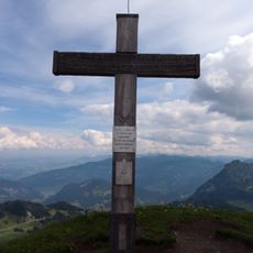
On exceptionally clear days, the view from the summit extends all the way to Lake Constance far below, revealing the true scale of the landscape. This distant vista depends entirely on weather conditions, making such days feel remarkable to visitors.
The community of curious travelers
AroundUs brings together thousands of curated places, local tips, and hidden gems, enriched daily by 60,000 contributors worldwide.