Teschen district, Administrative district in Austrian Silesia, Austria
Teschen district was an administrative region in Austrian Silesia centered on the city of Teschen as its main hub. It encompassed numerous municipalities spread across the territory, functioning as a cohesive administrative unit within the Austrian state.
Established in 1868 as an administrative district under Austrian rule, it remained part of the Habsburg domain until 1920. The end of World War I brought significant changes as international treaties redrew the region's boundaries.
The district was home to Polish, Czech, and German-speaking communities who shared the same towns and villages. Religious life centered around Roman Catholic practices, though Protestant and Jewish traditions also shaped local customs.
The historic district no longer exists as an administrative unit and is now divided between Poland and the Czech Republic. Those interested in exploring its past can find information in local museums and archives in the towns that once served as its centers.
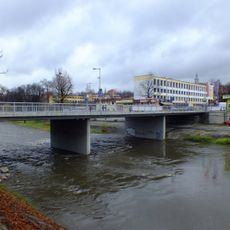
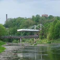
The region was split along the Olsa River after World War I, an unusual boundary that actually divided the town of Teschen itself in two. This partition created a unique situation where family ties and local connections crossed the newly drawn border.
The community of curious travelers
AroundUs brings together thousands of curated places, local tips, and hidden gems, enriched daily by 60,000 contributors worldwide.