
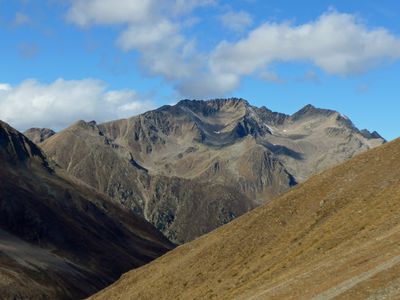
Hohe Wasserfalle, mountain in Austria
Location: Tyrol
Elevation above the sea: 3,003 m
GPS coordinates: 47.16525,10.97180
Latest update: March 3, 2025 15:27
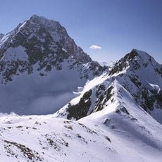
Acherkogel
2.9 km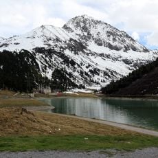
Zwölferkogel
4.1 km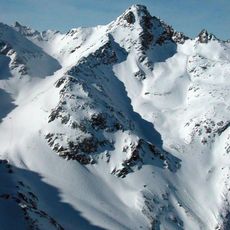
Sulzkogel
3.6 km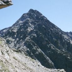
Hochreichkopf
599 m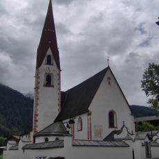
Sankt Vitus (Umhausen)
4.4 km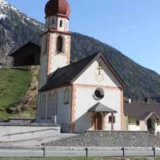
Kaplaneikirche Niederthai
4.2 km
Friedhof mit Friedhofskapelle
4.4 km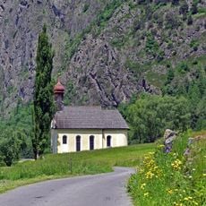
Wallfahrtskirche Maria Schnee
4.4 km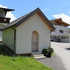
Kapelle Lehn, Umhausen
4.3 km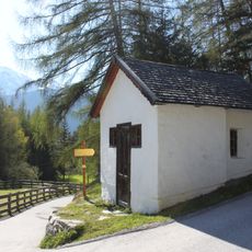
Mühlkapelle Niederthai
4.5 km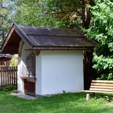
Lembachkapelle
4.4 km
Untere Sattelerkapelle
3.7 km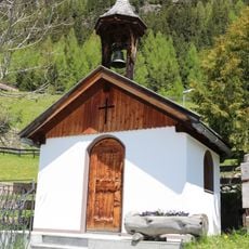
Wegkapelle in der Höhe, Umhausen
4.3 km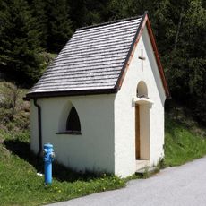
Wegkapelle Bichl, Umhausen
4.1 km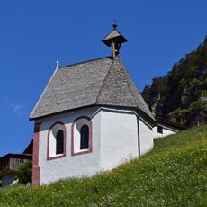
Ortskapelle Farst
3.5 km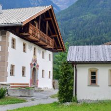
Hofkapelle hl. Thomas/Thomeleskapelle
4.5 km
Kental-Kapelle
3.9 km
Kapelle Platzl
4.4 km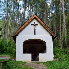
Rattalkapelle
3.8 km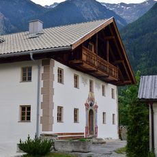
Bauernhof (Anlage)
4.5 km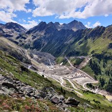
Speicher Kühtai
3.5 km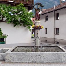
Mosesbrunnen Umhausen
4.5 km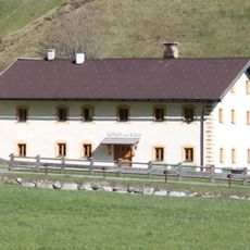
Kaplaneiwidum Niederthai
4.2 km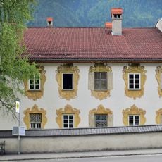
Widum Umhausen
4.5 km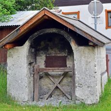
Backofen
4.5 km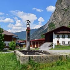
Nepomukbrunnen Lehn
4.3 km
Gasthof Krone Umhausen
4.4 km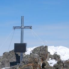
Gipfelkreuz Sulzkogel im Kühtai
3.6 kmReviews
Visited this place? Tap the stars to rate it and share your experience / photos with the community! Try now! You can cancel it anytime.
Discover hidden gems everywhere you go!
From secret cafés to breathtaking viewpoints, skip the crowded tourist spots and find places that match your style. Our app makes it easy with voice search, smart filtering, route optimization, and insider tips from travelers worldwide. Download now for the complete mobile experience.

A unique approach to discovering new places❞
— Le Figaro
All the places worth exploring❞
— France Info
A tailor-made excursion in just a few clicks❞
— 20 Minutes