Patschaberg, Mountain summit in Sankt Kathrein am Offenegg, Austria.
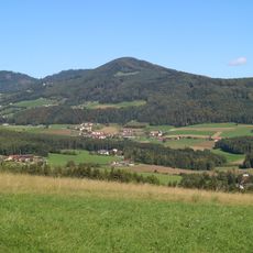
Patschaberg is a mountain summit in the Grazer Bergland region rising to 1271 meters above sea level. The slopes feature limestone cliffs mixed with dense forest, and several hiking trails wind through the varied terrain.
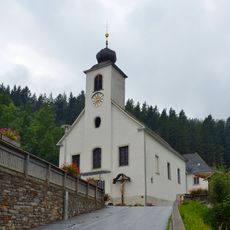
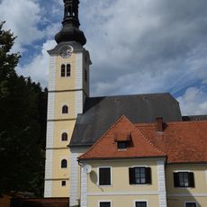
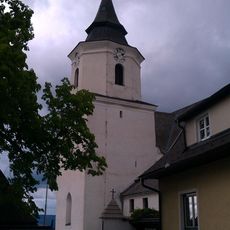
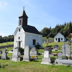
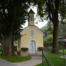
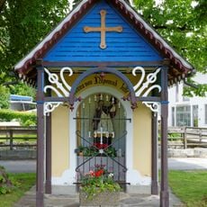
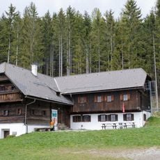
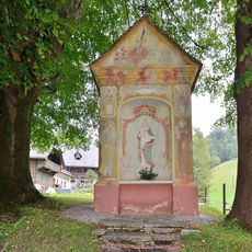
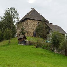
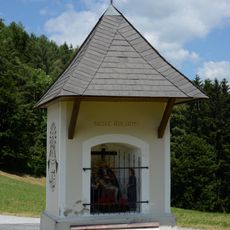
The name Patscha, also borne by three nearby farms, is of pre-German, probably Slavic origin; it was recorded in 1421 as Peutschein and has never been conclusively explained. The Patschabauer farm on the south side burned down on 5 June 1882 and was rebuilt by 1897; its grounds hold a bell tower probably built in the 18th century and last renovated in 2010. On 1 February 1945 Allied bombs caused major forest damage, commemorated on the Gschaid by a Marian chapel and the displayed remnant of a bomb.
The name Patscha, also borne by three nearby farms as a Vulgoname, is of pre-German, probably Slavic origin; it was recorded as Peutschein in 1421 and has never been conclusively explained. Around 1800 the Ried of the same name on the north side held 310 Joch of meadow, 271 Joch of forest and 5 Joch of arable land, four inhabited houses and a house mill. The summit serves as cow pasture in the summer months.
Access is via the Jägersteig parking area, which can be reached after taking the A2 exit at Gleisdorf West and following the B64 road. Several well-marked hiking trails depart from there, leading to different sections of the mountain.
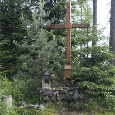
The summit cross stands on a knoll at 1271 m, about 400 m southwest of the actual highest point, which is not marked on Austrian maps and is roughly 3 m higher. The summit area serves as cow pasture in summer.
The community of curious travelers
AroundUs brings together thousands of curated places, local tips, and hidden gems, enriched daily by 94,407 contributors worldwide.