Kohlmaißhöhe, mountain in the Dientener Berge in Salzburg
Location: Bischofshofen
Location: Sankt Johann im Pongau
Elevation above the sea: 1,198 m
GPS coordinates: 47.38705,13.19476
Latest update: November 20, 2025 02:03
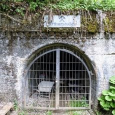
Arthurstollen
905 m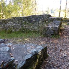
Burgruine Bachsfall
2.8 km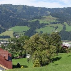
Palfnerkogel
1.7 km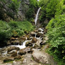
Gainfeld Waterfall
2.8 km
Gräberfeld Bischofshofen
2.2 km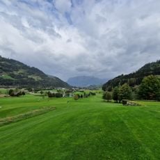
OPEN GOLF St. Johann Alpendorf
1.8 km
Schleichkogel
3 km
Hochstein
3.5 km
Urzeitlicher Bergbau Burgschweiggang
1.8 km
Ore of the Alps Global Geopark
1.9 km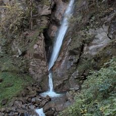
Gainfeldwasserfall
2.8 km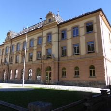
Schule
3.4 km
Römische Fundzone Urreiting
1.9 km
Work of art, sculpture
2.9 km
Wayside shrine
3 km
Work of art
2.9 km
Scenic viewpoint
3.2 km
Scenic viewpoint
2.8 km
Scenic viewpoint
2.8 km
Wayside cross
2.2 km
Die Sage von der Bochburg
2.9 km
Wayside cross
3.2 km
Wayside cross
3 km
Wayside cross
2.1 km
Wayside cross
2.6 km
Wayside cross, Christianity, Catholic church building
2.4 km
Franz Glatzhofer
3.2 km
Wayside shrine, Christianity
2.6 kmReviews
Visited this place? Tap the stars to rate it and share your experience / photos with the community! Try now! You can cancel it anytime.
Discover hidden gems everywhere you go!
From secret cafés to breathtaking viewpoints, skip the crowded tourist spots and find places that match your style. Our app makes it easy with voice search, smart filtering, route optimization, and insider tips from travelers worldwide. Download now for the complete mobile experience.

A unique approach to discovering new places❞
— Le Figaro
All the places worth exploring❞
— France Info
A tailor-made excursion in just a few clicks❞
— 20 Minutes