
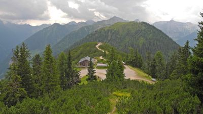
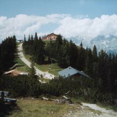
Rossfeld, mountain in the Schladminger Tauern in Styria
Location: Schladming
Elevation above the sea: 1,919 m
Website: https://ennstalwiki.at/wiki/index.php/Ro%C3%9Ffeld
GPS coordinates: 47.34906,13.64097
Latest update: March 2, 2025 23:48
Hochwurzen
1.2 km
Saint Acacius Church (Schladming)
5.9 km
Saints Peter and Paul Church
5.9 km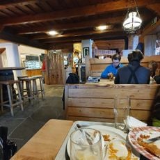
Hochwurzen
1.3 km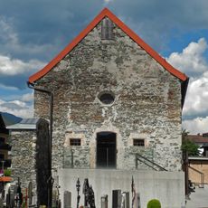
Annakapelle (Schladming)
5.9 km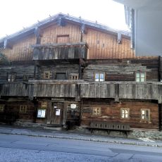
Heimatmuseum Bruderlade
5.8 km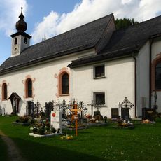
Pfarrkirche hl. Jakobus d. Ä., Pichl-Preunegg
5.1 km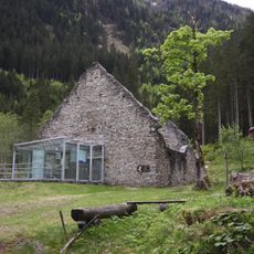
Nickelmuseum Obertal
5 km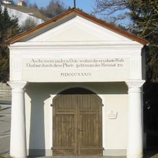
Kapelle zur alten Einsetz
5.7 km
Schmiedl-Kapelle
5.5 km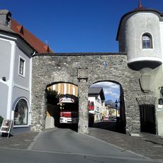
Salzburger Tor, Schladming
5.9 km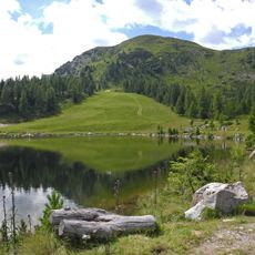
Gasselhöhe
3.7 km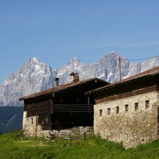
Stricklehen
1.9 km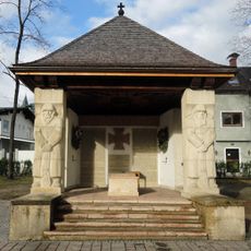
Kriegerdenkmal, Schladming
6.1 km
Schober
2.7 km
Giglachbach
5 km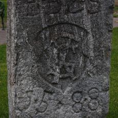
Bürgerschafts-Burgfriedstein
6.1 km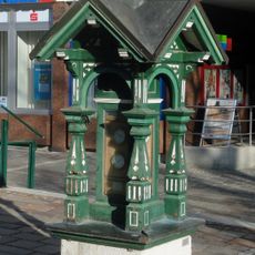
Weather house, Schladming
6 km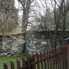
City wall of Schladming
5.9 km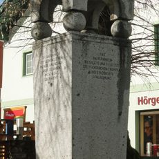
Bauernkriegsdenkmal, Schladming
6.1 km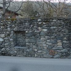
Stadtmauer
6.1 km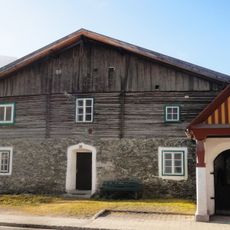
Wohnhaus, Alte Schmiede
5.5 km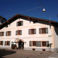
Hotel Alte Post, Schladming
6.1 km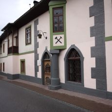
Gewerkenhaus, Schladming
6 km
Mesnerhaus, Pichl-Preunegg
5 km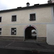
Bürgerhaus Schratter
5.9 km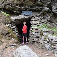
Annastollen Bromriesen
4.8 km
Evang. Pfarrhaus
5.9 kmReviews
Visited this place? Tap the stars to rate it and share your experience / photos with the community! Try now! You can cancel it anytime.
Discover hidden gems everywhere you go!
From secret cafés to breathtaking viewpoints, skip the crowded tourist spots and find places that match your style. Our app makes it easy with voice search, smart filtering, route optimization, and insider tips from travelers worldwide. Download now for the complete mobile experience.

A unique approach to discovering new places❞
— Le Figaro
All the places worth exploring❞
— France Info
A tailor-made excursion in just a few clicks❞
— 20 Minutes