
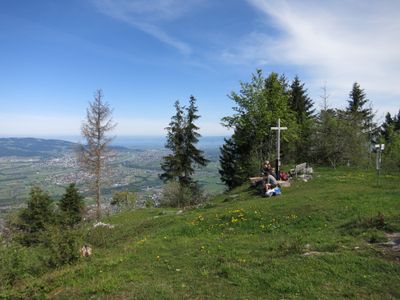
Kapf, mountain in Austria
Location: Götzis
Elevation above the sea: 1,153 m
GPS coordinates: 47.34243,9.68530
Latest update: March 4, 2025 22:02
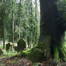
Jewish Cemetery in Hohenems
1.1 km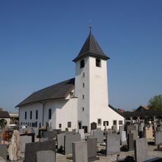
Chapel St. Sebastian and St. Antonius
1.8 km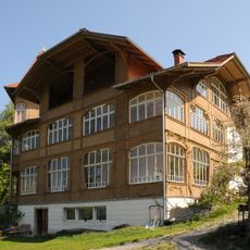
Einfirst
2 km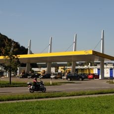
Tankstelle im Kobel
2.2 km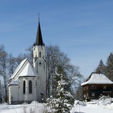
Kuratienkirche Hl. Wolfgang (Meschach)
1.7 km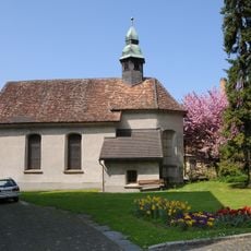
Kapelle Hl Karl Borromäus
2.2 km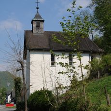
Schwefelkapelle
1.1 km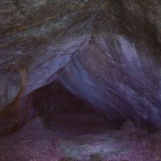
Witeleloch
684 m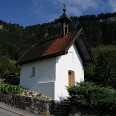
Flur-/Wegkapelle hl. Maria
1.1 km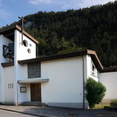
Listed chapel Unterer Berg
1.8 km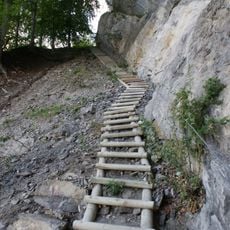
Kapfweg
1.1 km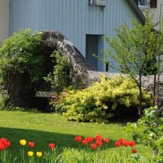
Mauer bei der Kapelle hl. Karl
2.2 km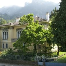
Villa Ammann
2.1 km
Alp Gsohl
1.2 km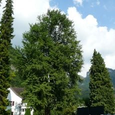
Natural monument "Ginkgo biloba"
2.1 km
Altes Rathaus, Hohenems
2.1 km
Kapelle hl. Sebastian und hl. Antonius - Cemetery
1.8 km
Schulhuesle Berg
1.6 km
Fallenkobelweg
1.3 km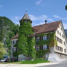
Rathaus Hohenems
2.1 km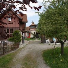
Bell castle
2 km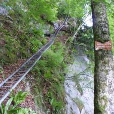
Leiterweg
775 m
Spalla
329 m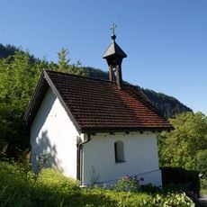
Chapel St. Mary
1.1 km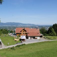
Schwefelberg
678 m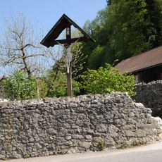
Mauer in der Burgstraße
2.2 km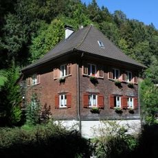
Pfarrhof Meschach
1.6 km
ProKonTra
1.8 kmReviews
Visited this place? Tap the stars to rate it and share your experience / photos with the community! Try now! You can cancel it anytime.
Discover hidden gems everywhere you go!
From secret cafés to breathtaking viewpoints, skip the crowded tourist spots and find places that match your style. Our app makes it easy with voice search, smart filtering, route optimization, and insider tips from travelers worldwide. Download now for the complete mobile experience.

A unique approach to discovering new places❞
— Le Figaro
All the places worth exploring❞
— France Info
A tailor-made excursion in just a few clicks❞
— 20 Minutes