
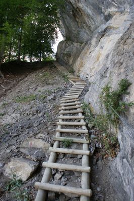
Kapfweg, alpine hiking path from Meschach to the plot "Spalla" (Goetzis, Vorarlberg, Austria)
Location: Götzis
Length: 1,600 m
GPS coordinates: 47.33534,9.67539
Latest update: March 22, 2025 07:43
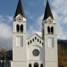
Pfarrkirche hl. Ulrich
2.3 km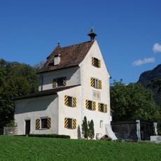
Schloss Sonderberg
2.1 km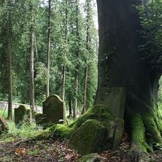
Jewish Cemetery in Hohenems
1.3 km
Tankstelle im Kobel
1.8 km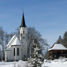
Kuratienkirche Hl. Wolfgang (Meschach)
574 m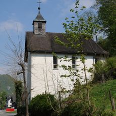
Schwefelkapelle
1.5 km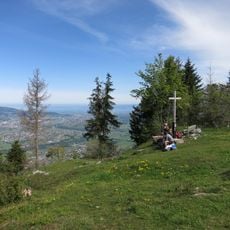
Kapf
1.1 km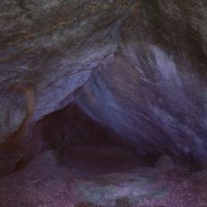
Witeleloch
423 m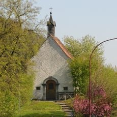
Kapelle am Kobel
1.8 km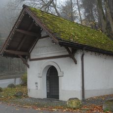
Chapel St. Loy
2.3 km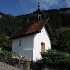
Flur-/Wegkapelle hl. Maria
599 m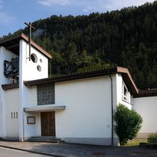
Listed chapel Unterer Berg
927 m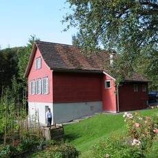
Schulhuesle Berg
692 m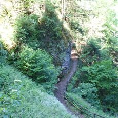
Fallenkobelweg
948 m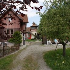
Bell castle
1 km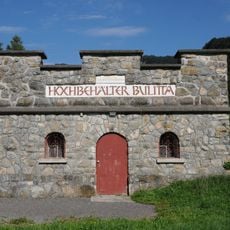
Hochbehälter Bulitta
1.6 km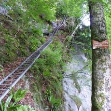
Leiterweg
1.8 km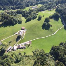
Spalla
874 m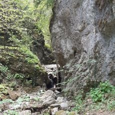
Oerflaschlucht
1.3 km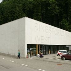
Ringsportzentrum West
1.7 km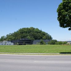
Sonderberg
2.1 km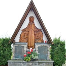
Kriegerdenkmal
2.3 km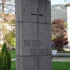
Kriegerdenkmal Götzis
2.3 km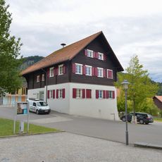
Volksschule
2.3 km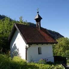
Chapel St. Mary
599 m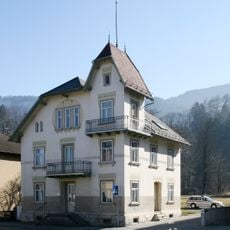
Wohnhaus
2 km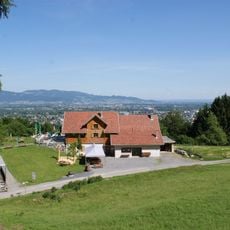
Schwefelberg
1.4 km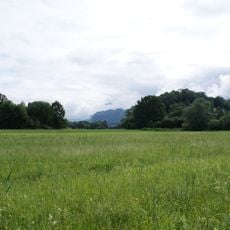
Schubbas
2.2 kmReviews
Visited this place? Tap the stars to rate it and share your experience / photos with the community! Try now! You can cancel it anytime.
Discover hidden gems everywhere you go!
From secret cafés to breathtaking viewpoints, skip the crowded tourist spots and find places that match your style. Our app makes it easy with voice search, smart filtering, route optimization, and insider tips from travelers worldwide. Download now for the complete mobile experience.

A unique approach to discovering new places❞
— Le Figaro
All the places worth exploring❞
— France Info
A tailor-made excursion in just a few clicks❞
— 20 Minutes