·

Enable Location

We need your location to show you interesting places around you

Discover nearby places

Find interesting locations and hidden gems around you

Precise directions

Get accurate directions and distances to places

Your location is never shared with other users. It's only used when you tap the location button.

Karlhochkogel

Log in to your account

Start exploring — it's free

Trusted by 62,657 travelers worldwide

Continue with Google
Continue with Apple
or

We will send you a code to connect

By continuing, you accept our Terms and Conditions and our Privacy Policy

Check your inbox

We've sent a pincode in your inbox. Please enter the code below.

Karlhochkogel

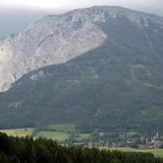
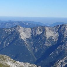
Karlhochkogel, Mountain summit in Thörl, Austria

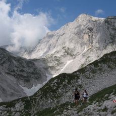
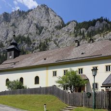
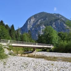
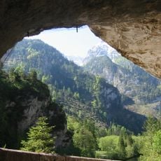
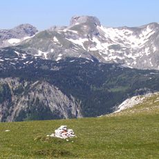
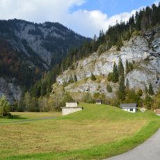
Karlhochkogel is a mountain summit in the Hochschwab group reaching 2096 meters with steep rock faces and open meadows along its southeastern slopes. Its varied terrain offers different route options and elevation changes during the ascent.

The mountain routes were developed and documented during the mid-1800s in the early phase of Alpine exploration. Those original paths still form the foundation for most climbing options today.

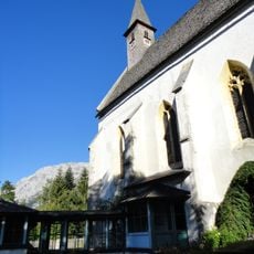
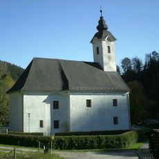
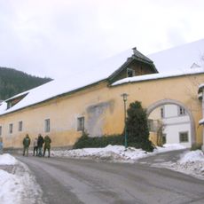
Climbers from the region have used this summit as a hiking destination for generations within the Hochschwab range. The trails carry names and stories passed down through local mountaineering communities.

The climb takes roughly four hours from the Bodenbauer starting point and covers around 1200 meters of elevation gain on partly marked and unmarked paths. Good footwear and weather-resistant clothing matter since the routes become steep and conditions can change rapidly.

In winter the Karlgraben ravine offers special skiing conditions for experienced skiers who want to descend directly from the summit to the valley. This option depends heavily on snow conditions and experience and goes unnoticed by most visitors.

The community of curious travelers

AroundUs brings together thousands of curated places, local tips, and hidden gems, enriched daily by 60,000 contributors worldwide.

Start exploring
Location
Elevation above the sea
2,096 m
GPS coordinates
47.60727,15.15741
Latest update
December 14, 2025 20:04
« Karlhochkogel - Mountain summit in Thörl, Austria » is provided by Around Us (aroundus.com). Images and texts are derived from Wikimedia project under a Creative Commons license. You are allowed to copy, distribute, and modify copies of this page, under the conditions set by the license, as long as this note is clearly visible.

Discover hidden gems everywhere you go!

From secret cafés to breathtaking viewpoints, skip the crowded tourist spots and find places that match your style. Our app makes it easy with voice search, smart filtering, route optimization, and insider tips from travelers worldwide. Download now for the complete mobile experience.

Around Us App Screenshot

A unique approach to discovering new places

Le Figaro

All the places worth exploring

France Info

A tailor-made excursion in just a few clicks

20 Minutes

Around Us
Travel Guide & Maps
Download

Send to your phone

QR Code
1

Open the camera app on your mobile.

2

Point at the QR code with your camera. A notification will appear.

3

Tap the notification to open the link.