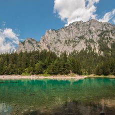
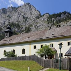
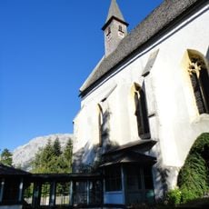
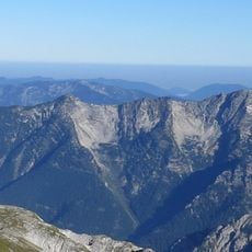
Hochschwab, Mountain summit in Upper Styria, Austria.
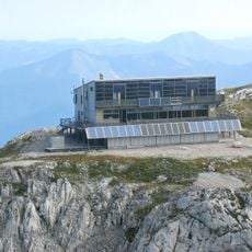
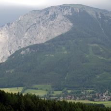
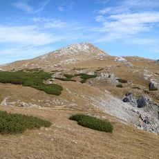
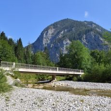
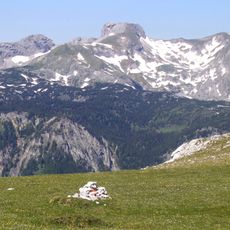
Hochschwab is a 2,277 m summit in Upper Styria, the highest of its range, topped by a flat rock-and-grass dome. Its showpiece is the south face, almost two kilometres wide and up to 300 metres high above the Trawies Saddle. The summit is reached in about half an hour from the Schiestlhaus (2,153 m) to the northeast.
The earliest depiction of the Hochschwab appears on sketches by the Augustinian monk and cartographer Johannes Clobucciarich for a map of Inner Austria, left unfinished when he died in 1605 and kept in the Styrian State Archives. He drew it as a double peak labelled qui é semper neve ("here is always snow"), without a proper name. The name probably derives from a farm or owner's name, first referring to the Schwabenboden plateau away from the summit.
The mountain is often called "Schwab" for short. The name probably comes from a farm or owner's name and first referred to the Schwabenboden, the flatter areas away from the summit, before being applied to the peak and then the whole range. The oldest depiction, on sketches by cartographer Johannes Clobucciarich (died 1605), labels the double peak "qui é semper neve" ("Here is always snow") without giving it a name.
The climb requires proper mountain gear and preparation, as conditions vary with the season. It is best to start early and keep an eye on the weather.
The oldest depiction of the Hochschwab is on sketches by the Augustinian monk and cartographer Johannes Clobucciarich (Ivan Klobučarić) for a never-finished map of Inner Austria; he died in 1605. The sketches, kept in the Styrian State Archives, show a double summit labelled qui é semper neve ("here is always snow") but give it no name.
The community of curious travelers
AroundUs brings together thousands of curated places, local tips, and hidden gems, enriched daily by 93,067 contributors worldwide.