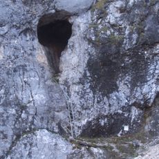
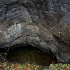
Arschlochwinkel, Field area in Obertraun, Austria.
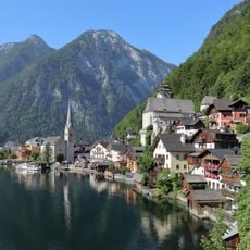
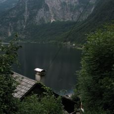
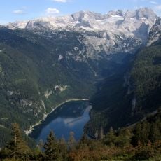
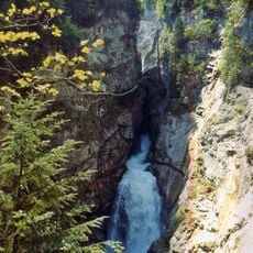
Arschlochwinkel is a mountain field area at the foot of the Dachstein massif near Obertraun, surrounded by several peaks. The terrain lies between Tiefkar and Zwölferkogel and offers views across the surrounding alpine landscape.
Late 19th century cartographers surveyed the region and recorded names provided by local farmers. The location appeared on an Alpine Club map in 1915, becoming part of the official documentation of the area.
Local farmers created this unconventional name as a response to cartographers' requests, reflecting how they perceived difficult mountain terrain. Such names still appear on maps today and show what mattered to people living in these isolated areas.
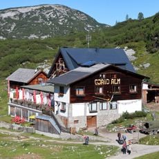
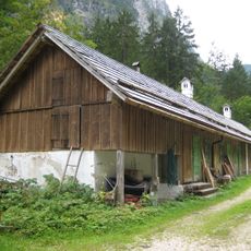
Access the area by following the hiking trail toward Zwölferkogel, which passes through Tiefkar and crosses between different peaks. The terrain is mountainous and requires suitable hiking equipment and experience.
The name literally translates to 'Asshole Angle,' one of several unusual geographical names in the Dachstein region. Such names originated from the direct language of mountain dwellers and how they described their landscape.
Location: Obertraun
GPS coordinates: 47.52899,13.64667
Latest update: December 8, 2025 13:44
Hirlatzhöhle
2.1 km
Gjaidalm
2.1 km
Taubenkogel
2.8 km
Kalvarienbergkirche (Hallstatt)
2.6 km
Kreuzwegkapelle I
2.9 km
Kreuzwegkapelle IV
2.6 km
Kreuzwegkapelle II (Hallstatt)
2.7 km
Kreuzwegkapelle III
2.7 km
Kessel bei Hallstatt
2.2 km
Vorderer Hirlatz
1.2 km
Echerntal-Simony-Denkmal
2.4 km
Wirtschaftsgebäude, ehem. Fischereibetrieb
2.7 km
Amtshaus Salinen
2.6 km
Bildstock Herzog von San Marco, Hallstatt
2.8 km
Feuerwehrzeughaus
2.6 km
Hallstatt Kreuzstein Wunderbaldinger
2.8 km
Seewand
1.6 km
Wohnhaus, Benefizium mit Gartenhaus
2.9 km
Hallstatt, Barn Demelgasse
3 km
Kindergarten, Salzbergstraße 22, Hallstatt
2.9 km
Salzbergbahn
3.1 km
Zwölferkogel
368 m
Hallstatt, Salzbergstraße 50
2.9 km
Riesenkarsthöhle Hirschbrunn
2.2 km
Dachstein in den Gemeinden Gosau, Hallstatt und Obertraun
3 km
Waldbachstrub
3.3 km
Gedenktafel/-stein
2.8 km
Gedenkstein
3.1 kmVisited this place? Tap the stars to rate it and share your experience / photos with the community! Try now! You can cancel it anytime.
Discover hidden gems everywhere you go!
From secret cafés to breathtaking viewpoints, skip the crowded tourist spots and find places that match your style. Our app makes it easy with voice search, smart filtering, route optimization, and insider tips from travelers worldwide. Download now for the complete mobile experience.
A unique approach to discovering new places❞
— Le Figaro
All the places worth exploring❞
— France Info
A tailor-made excursion in just a few clicks❞
— 20 Minutes