
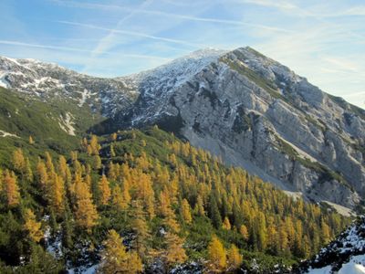
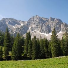
Gamsplan, mountain in the Sengsengebirge in Upper Austria
Location: Roßleithen
Elevation above the sea: 1,902 m
GPS coordinates: 47.77443,14.33464
Latest update: March 4, 2025 01:04
Kalkalpen National Park
3.4 km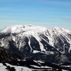
Hoher Nock
1.3 km
Wurbauerkogel
5.4 km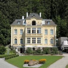
Villa Sonnwend
4.1 km
Bodinggraben
4.8 km
Steyreck
4.3 km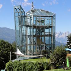
Panoramaturm Wurbauerkogel
5.4 km
Calvary Windischgarsten
5.4 km
Gierer Streuwiese
4.8 km
Anna-Kapelle
4.8 km
Schärhaus, Windischgarsten
5.8 km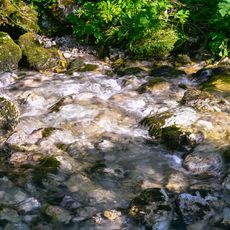
Buchbergbach
4.3 km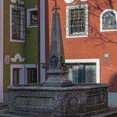
Brunnen
5.8 km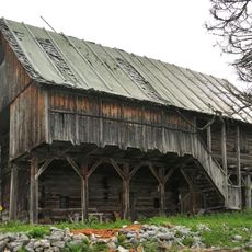
Jagdhütte Bärnriedlau, Sengsengebirge
3.6 km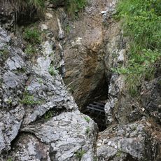
Rettenbachhöhle
2.2 km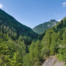
Kalkalpen - Bodinggraben
2 km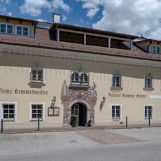
Gasthaus Zur Goldenen Sonne, Veichllehen, Windischgarsten
5.8 km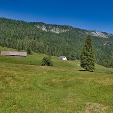
Rumplmayrreith
4.6 km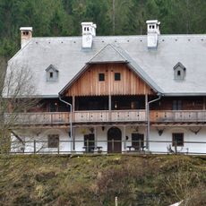
Lamberg´sches Forsthaus (Rosenau am Hengstpaß)
4.6 km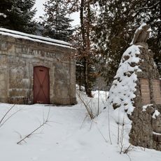
Wasserreservoir
5.5 km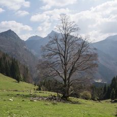
Buche auf der Zaglbauernalm
4.1 km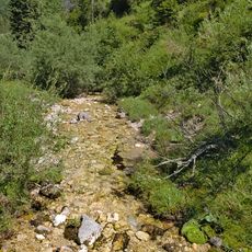
Rumpelmayrbach
5.3 km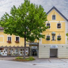
Giebelschauseite des Hauses auf der Lacken
5.8 km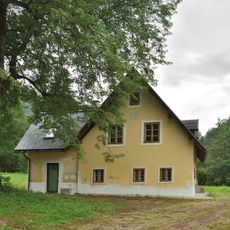
Wohnhaus, Forsthaus, Jaeger in Rettenbach
2.7 km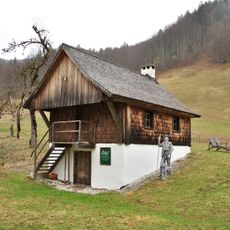
Forstamtsgebäude, sog. Adjunktenstöckl
4.9 km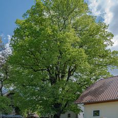
Rumpelmayrlinde
4.5 km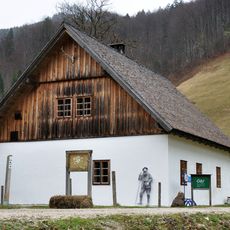
Gasthaus, ehem. Aufseherhaus, sog. Gölzhaus
4.8 km
Krafthaus
4.8 kmReviews
Visited this place? Tap the stars to rate it and share your experience / photos with the community! Try now! You can cancel it anytime.
Discover hidden gems everywhere you go!
From secret cafés to breathtaking viewpoints, skip the crowded tourist spots and find places that match your style. Our app makes it easy with voice search, smart filtering, route optimization, and insider tips from travelers worldwide. Download now for the complete mobile experience.

A unique approach to discovering new places❞
— Le Figaro
All the places worth exploring❞
— France Info
A tailor-made excursion in just a few clicks❞
— 20 Minutes