
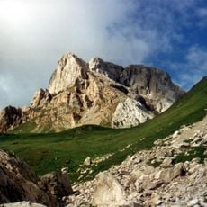
Gamskofel, mountain in the Carnic Alps in Lesachtal, Carinthia
Location: Lesachtal
Elevation above the sea: 2,122 m
GPS coordinates: 46.66352,12.77251
Latest update: March 12, 2025 08:42

Peralba
5.5 km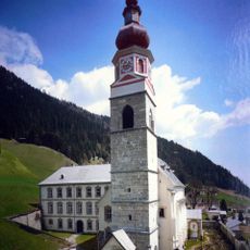
Wallfahrtskirche Maria Schnee (Maria Luggau)
5.4 km
Kloster Maria Luggau
5.4 km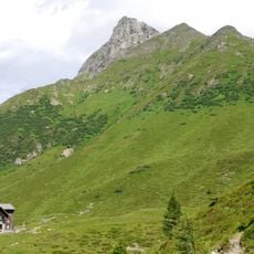
Raudenspitze
1.9 km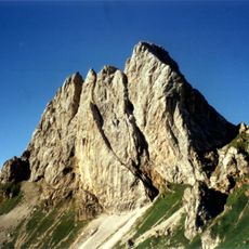
Monte Chiadenis
5.4 km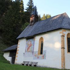
Kirche Sankt Radegund, Wiesen
4.5 km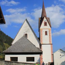
St. Nikolaus (Liesing)
4.7 km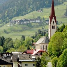
St. Lorenzen im Lesachtal, Kath. Pfarrkirche hl. Laurentius
4.4 km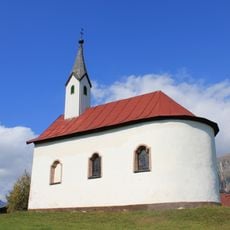
Kirche St. Anna, Obergail
3.8 km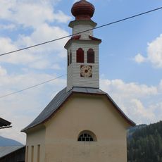
Kirche Raut
5.3 km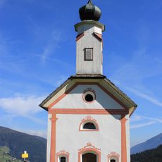
Kapelle hl. Dreifaltigkeit, Frohn
3.5 km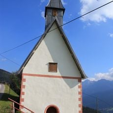
St. Josef
5.1 km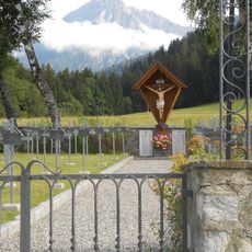
St. Lorenzen im Lesachtal, Heldenfriedhof
4.2 km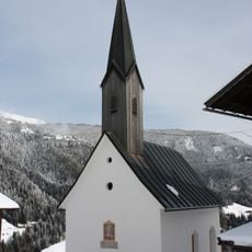
Niedergail, Kath. Filialkirche Maria Hilf
5.2 km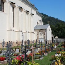
Friedhof
5.4 km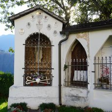
Friedhof
4.6 km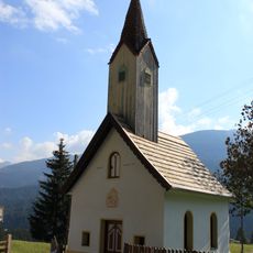
Kirche Hl. Dreifaltigkeit, Klebas
4.5 km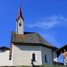
Xaveribergkapelle
4.7 km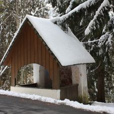
Liesing, Wegkapelle 14 Nothelfer
5.2 km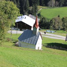
Kapelle hll. Silvester und Veit, Frohn
3.2 km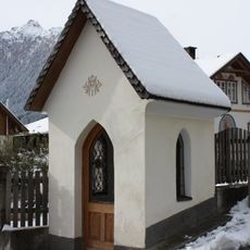
St. Lorenzen, Marienkapelle
4.4 km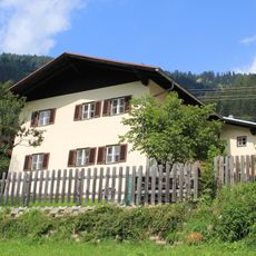
Zollwachwohngebäude Maria Luggau 49
5.3 km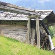
Grossn-Mühle
5.6 km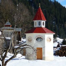
Spatzentempel Maria Luggau
5.4 km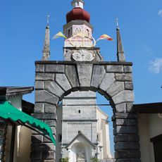
Portal Klosteranlage Maria Luggau
5.5 km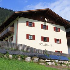
Zollwachwohngebäude Maria Luggau 50
5.3 km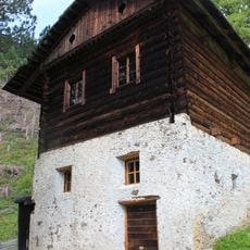
Hanseler-Mühle
5.6 km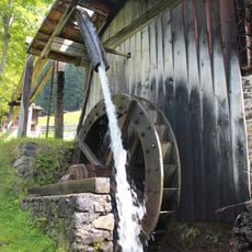
Vorbeter-Mühle
5.6 kmReviews
Visited this place? Tap the stars to rate it and share your experience / photos with the community! Try now! You can cancel it anytime.
Discover hidden gems everywhere you go!
From secret cafés to breathtaking viewpoints, skip the crowded tourist spots and find places that match your style. Our app makes it easy with voice search, smart filtering, route optimization, and insider tips from travelers worldwide. Download now for the complete mobile experience.

A unique approach to discovering new places❞
— Le Figaro
All the places worth exploring❞
— France Info
A tailor-made excursion in just a few clicks❞
— 20 Minutes