
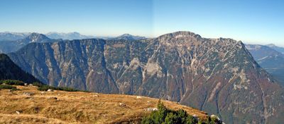
Hoher Sarstein, highest peak of the Sarstein Massiv at the border Upper Austria / Styria
Location: Bad Goisern
Location: Bad Aussee
Location: Altaussee
Elevation above the sea: 1,975 m
GPS coordinates: 47.60212,13.69847
Latest update: March 13, 2025 07:59
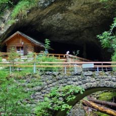
Koppenbrühlerhöhle
3.9 km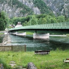
Seeklause Steeg
5.1 km
Gosauzwang
3.8 km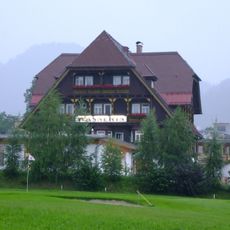
Wasnerin
4.7 km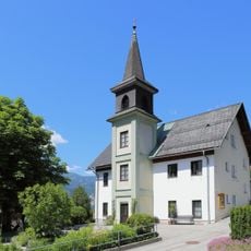
Evangelisches Bethaus Obertraun
4.9 km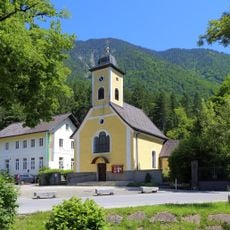
Pfarrkirche Obertraun
5 km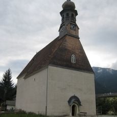
Kalvarienbergkirche hl. Agatha
4.8 km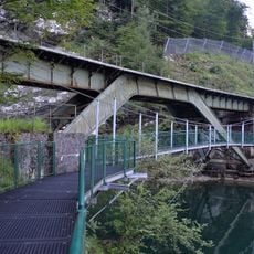
Wehrgrabenbrücke
4.3 km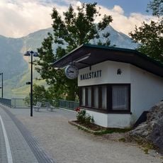
Hallstatt railway station
4.7 km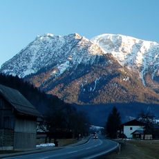
Schwarzkogel
1 km
Soleleitung, Gosauzwang-Brücke
3.8 km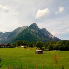
Niederer Sarstein
749 m
Steeger Seeklause samt Klauswärterhaus
5.1 km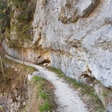
Soleleitung, Bogenbrücke (Hangbrücke) beim Kalkofengraben
4.6 km
Retaining Wall near Gosauzwang
3.8 km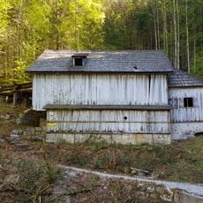
Solestube beim Gosauzwang
3.8 km
Golf Club Ausseerland
4.8 km
Steeger Seeklause samt Klauswärterhaus
5.1 km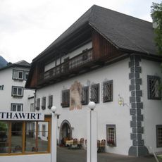
Agathawirt
4.7 km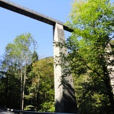
Soleleitung, Gosauzwang-Brücke
3.8 km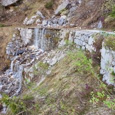
Soleleitung, Stützmauer beim Steingraben
4.9 km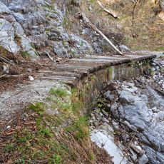
Soleleitung, Stützmauer beim großen Hundsortgraben
4.2 km
Römerzeitliche Wegtrasse und Siedlung Michlhallberg
4.5 km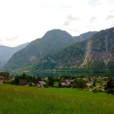
Gosaueck
4.9 km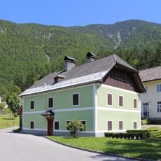
Wohnhaus, Ehem. Benefiziatenwohnhaus
5 km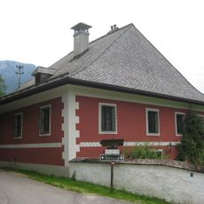
Haus Seeaugut, ehem. Freisitz Gut Seeau
4.9 km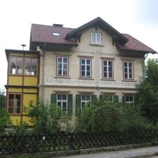
Wohnhaus, ehem. kath. Privatschule
4.6 km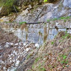
Soleleitung, Stützmauer beim kleinen Hundsortgraben
4.5 kmReviews
Visited this place? Tap the stars to rate it and share your experience / photos with the community! Try now! You can cancel it anytime.
Discover hidden gems everywhere you go!
From secret cafés to breathtaking viewpoints, skip the crowded tourist spots and find places that match your style. Our app makes it easy with voice search, smart filtering, route optimization, and insider tips from travelers worldwide. Download now for the complete mobile experience.

A unique approach to discovering new places❞
— Le Figaro
All the places worth exploring❞
— France Info
A tailor-made excursion in just a few clicks❞
— 20 Minutes