
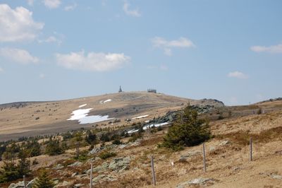
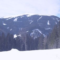
Hochwechsel, Highest point of Wechsel Massif in the Randgebirge östlich der Mur at the border Lower Austria / Styria
Location: Aspangberg-St. Peter
Location: Waldbach-Mönichwald
Location: Rettenegg
Elevation above the sea: 1,743 m
GPS coordinates: 47.53034,15.91380
Latest update: March 3, 2025 10:26
Stuhleck
10.5 km
Burg Festenburg
7.4 km
Pfarrkirche St. Corona am Wechsel
9.5 km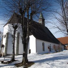
Kath. Pfarrkirche Maria Namen
9.4 km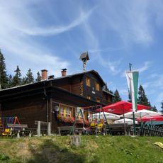
Hallerhaus
6.1 km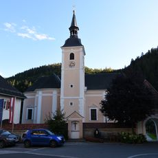
Saints Peter and Paul Church
9.6 km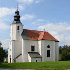
Pfarrkirche hl. Laurentius, Sankt Lorenzen am Wechsel
10.2 km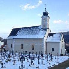
Pfarrkirche hl. Petrus (Neuwald)
8.1 km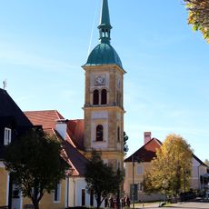
Pfarrkirche hl. Florian, Rettenegg
10.1 km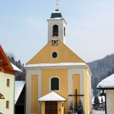
Pfarrkirche Trattenbach
8.2 km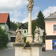
Mariensäule Kirchberg am Wechsel
10.5 km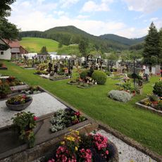
Friedhof und ehem. Totenkammer
10.1 km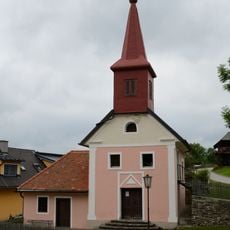
Ortskapelle Mariae Heimsuchung
7.7 km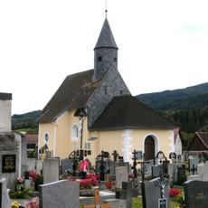
Friedhofskirche
10.4 km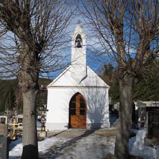
Friedhofskapelle
9.5 km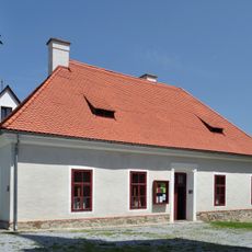
Pfarrheim, ehem. Armenhaus
10.1 km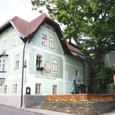
Gasthof/Hotel Zur 1000jährigen Linde (Haupthaus)
10.5 km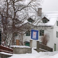
Wittgensteinmuseum Trattenbach
8.2 km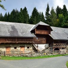
Bauernhaus Saujockl
6.4 km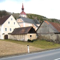
Pfarrhof Mönichwald
9.6 km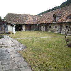
Pfarrhof - Wirtschaftsgebäude Mönichwald
9.6 km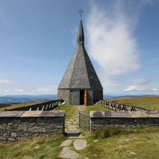
War cemetery Hochwechsel
40 m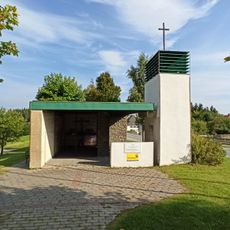
Staatsvertragsgedächtniskapelle Mönichkirchen
10 km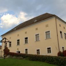
Pfarrhof
10.2 km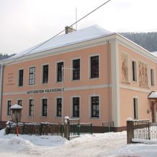
Wittgenstein-Volksschule
8.2 km
Pfarrhof
10.2 km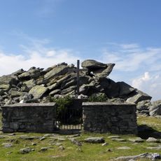
Church yard St. Lorenzen
3.2 km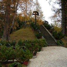
Soldatenfriedhof Rettenegg
9.8 kmReviews
Visited this place? Tap the stars to rate it and share your experience / photos with the community! Try now! You can cancel it anytime.
Discover hidden gems everywhere you go!
From secret cafés to breathtaking viewpoints, skip the crowded tourist spots and find places that match your style. Our app makes it easy with voice search, smart filtering, route optimization, and insider tips from travelers worldwide. Download now for the complete mobile experience.

A unique approach to discovering new places❞
— Le Figaro
All the places worth exploring❞
— France Info
A tailor-made excursion in just a few clicks❞
— 20 Minutes