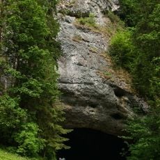
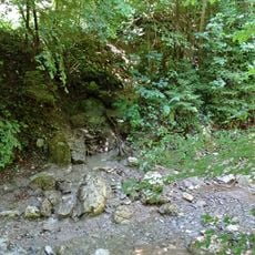
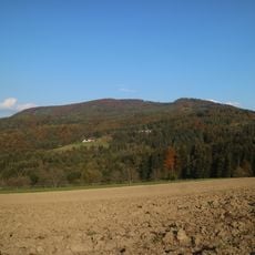
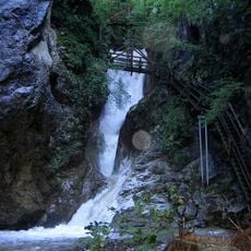
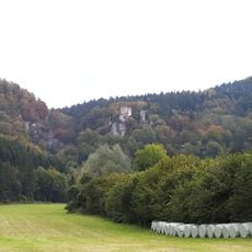
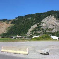
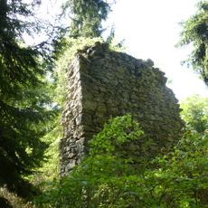
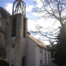
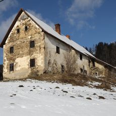
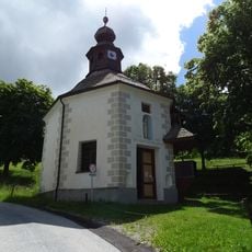
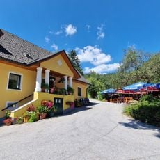
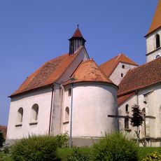
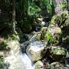
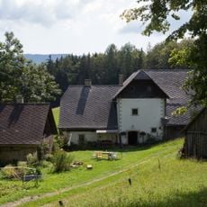
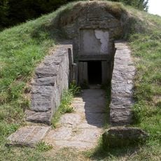
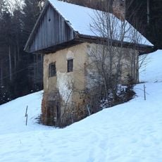
Glettbach, Brook in Semriach, Austria.
Glettbach rises in a stand of trees on the northeast slope of the Niederschöckl, about 120 metres west of the Schöcklsiedlung at roughly 906 metres above sea level. It runs northwest, crosses under the Glettstraße, then turns west for about 1.1 kilometres south of the scattered settlement of Glett, taking in the Spinnerbach. After about 2.9 kilometres it empties from the left into the Rötschbach near the Alter Sandwirt inn, just south of the Kesselfallklamm.
Glettbach has long been part of the natural drainage system of the Semriach region and has been shaped over time by local management practices. The brook's management reflects the development of water protection measures and environmental policies in the municipality.
The brook is experienced by locals as a natural landmark that shapes the surrounding area and creates different habitats. The nearby meadows and forest sections show how the water influences and structures the environment.
The brook can be reached via hiking paths that run through Semriach municipality and are marked for orientation. The best conditions for exploring occur during months with moderate weather, when paths are dry and accessible.
The brook carries water throughout the year, providing stable habitat for specialized plant species found in Alpine regions. This year-round flow makes it an important source of biodiversity along its banks.
The community of curious travelers
AroundUs brings together thousands of curated places, local tips, and hidden gems, enriched daily by 93,648 contributors worldwide.