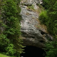
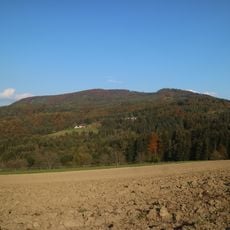
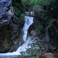
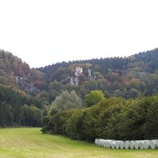
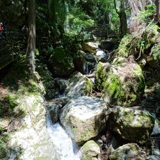
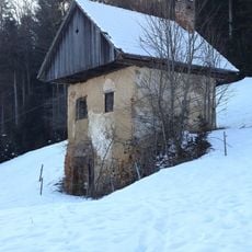
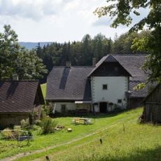
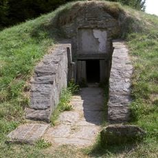
Kaltbach, Brook in Semriach, Austria.
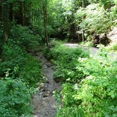
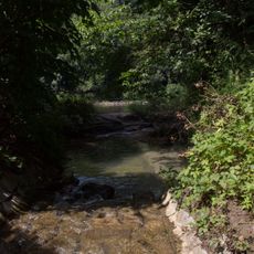
Kaltbach is a forest brook in the market town of Semriach, Styria, about 1.2 km long. It rises at roughly 762 m on the southeastern edge of the Tanneben plateau, runs east then southeast through a ravine, passes under the L318 Semriacherstraße, and enters the Rötschbach from the right south of the Kesselfall.
The name Kaltbach is a straightforward German compound of kalt (cold) and Bach (brook). The stream rises at about 762 m on the southeastern edge of the Tanneben plateau, below an offshoot of the Hochglaserer, and runs roughly 1.2 km before joining the Rötschbach from the right. The sources record no mills or settlement history for it.
The stream flows through a wooded ravine between a spur of the Hochglaserer to the north and Semriach's local mountain to the south. Its name, meaning "cold brook", refers to the water temperature. The scattered farmstead Taschen lies about 160 metres northwest of the source, and the Taschenstraße runs roughly 100 metres from it.
The brook is best explored on foot or by bicycle along local paths. Water flow varies with the seasons, being fuller in spring and calmer in summer months.
The Kaltbach drops about 209 metres over its 1.2-kilometre course, a mean bed gradient of roughly 17 percent. It joins the Rötschbach from the right just south of the Kesselfall and the Kesselfallklamm gorge, about 240 metres north of the Gasthof Alter Sandwirt.
The community of curious travelers
AroundUs brings together thousands of curated places, local tips, and hidden gems, enriched daily by 93,911 contributors worldwide.