
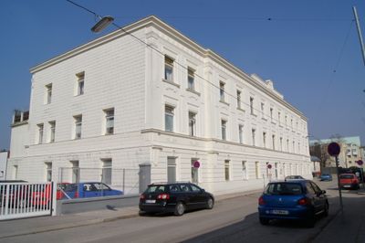
Ehemaliges Kommandogebäude, building in St. Pölten, Austria
Location: St. Pölten
Address: Hötzendorfstraße 4
GPS coordinates: 48.20252,15.61766
Latest update: March 4, 2025 12:19

St. Pölten Town hall
435 m
Hesserkaserne
119 m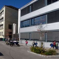
Mary Ward Schule St. Pölten
428 m
St. Pölten Protestant Church
285 m
Prandtauerkirche
411 m
Stadtmuseum St. Pölten, Karmeliterhof
385 m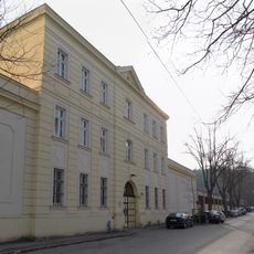
Justizanstalt St. Pölten
195 m
Herz-Jesu-Kirche
409 m
Stadtsäle
377 m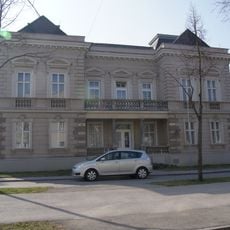
Elisenvilla
221 m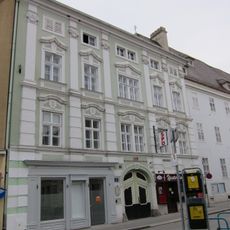
Steingötterhof
384 m
Institut & Klosterkirche Englische Fräulein, St. Pölten
429 m
Ehem. Gasthof Zum goldenen Löwen
339 m
Leiner-Stammhaus
466 m
Palais Montecuccoli
447 m
Herz-Jesu-Kloster
394 m
Evangelisches Pfarrhaus
268 m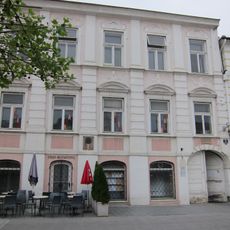
Former Hauptschule, Musikverein, St. Pölten
458 m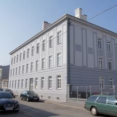
Ehem. Unteroffizierswohnhaus
64 m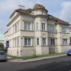
Kommunaler Wohnbau
222 m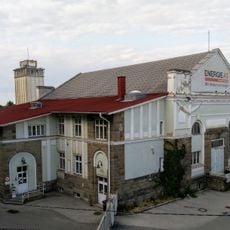
Notkraftwerk der Mariazeller Bahn
419 m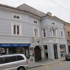
Wohnhaus, Linzer Straße 19, St. Pölten
381 m
Town house Prandtauerstraße 3
419 m
Gesundheits- und Jugendamt
375 m
Wohnhaus
444 m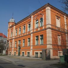
Ehem. Schülerinnen-Internat
378 m
Ehem. Offizierswohnhaus
114 m
Wohnhaus
366 mReviews
Visited this place? Tap the stars to rate it and share your experience / photos with the community! Try now! You can cancel it anytime.
Discover hidden gems everywhere you go!
From secret cafés to breathtaking viewpoints, skip the crowded tourist spots and find places that match your style. Our app makes it easy with voice search, smart filtering, route optimization, and insider tips from travelers worldwide. Download now for the complete mobile experience.

A unique approach to discovering new places❞
— Le Figaro
All the places worth exploring❞
— France Info
A tailor-made excursion in just a few clicks❞
— 20 Minutes