Wehranlage Unterrothenbuch, Denkmalgeschütztes Objekt in Braunau am Inn (48992)
Location: Braunau am Inn
Address: Flur Unterrothenbuch
GPS coordinates: 48.21707,12.98615
Latest update: November 13, 2025 13:13
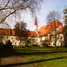
Stift Ranshofen
2.9 km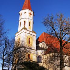
Pfarrkirche Braunau-Ranshofen
2.9 km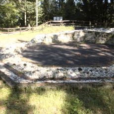
Ratzlburg
2.7 km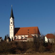
Mariä Himmelfahrt (Kirchdorf am Inn)
2.9 km
Schloss Ritzing
2.7 km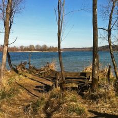
Vogelfreistätte Salzachmündung
2.9 km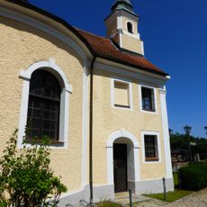
Schlosskapelle Ritzing
2.7 km
Katholische Pfarrkirche Mariä Himmelfahrt
2.8 km
Ranshofen Brunnen
2.8 km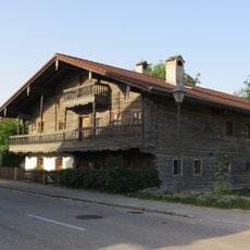
Bauernhaus, Bräustidlhaus
3 km
Ascherweiher
2.1 km
Cultural heritage D-2-7743-0020 in Kirchdorf am Inn (Landkreis Rottal-Inn)
2.7 km
Gräberfeld, Hallstattzeitliches Hügelgräberfeld Roith I
734 m
Cultural heritage D-2-7743-0008 in Kirchdorf am Inn (Landkreis Rottal-Inn)
2.7 km
Römische Villa am Teufelloh
1.5 km
Kriegerdenkmal Hauptstraße 12 in Kirchdorf am Inn (Landkreis Rottal-Inn)
2.8 km
Cultural heritage D-2-7743-0055 in Kirchdorf am Inn (Landkreis Rottal-Inn)
2.7 km
Gasthof
2.9 km
Friedhofsmauer Hauptstraße 10 in Kirchdorf am Inn (Landkreis Rottal-Inn)
2.9 km
Cultural heritage D-2-7743-0053 in Kirchdorf am Inn (Landkreis Rottal-Inn)
2.8 km
Altes Schul- und Mesnerhaus
2.9 km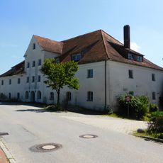
Ehem. Schlossbrauerei
2.7 km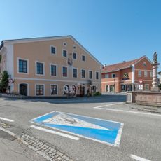
Hofrichterhaus, Ranshofen
2.8 km
Eiche am Prälatenbach
1.9 km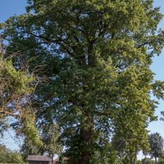
Stieleiche von Ranshofen
3.1 km
Linde in Paßberg
3 km
Liegewiese Badesee Gstetten
2.9 km
Wayside shrine
671 mReviews
Visited this place? Tap the stars to rate it and share your experience / photos with the community! Try now! You can cancel it anytime.
Discover hidden gems everywhere you go!
From secret cafés to breathtaking viewpoints, skip the crowded tourist spots and find places that match your style. Our app makes it easy with voice search, smart filtering, route optimization, and insider tips from travelers worldwide. Download now for the complete mobile experience.

A unique approach to discovering new places❞
— Le Figaro
All the places worth exploring❞
— France Info
A tailor-made excursion in just a few clicks❞
— 20 Minutes