
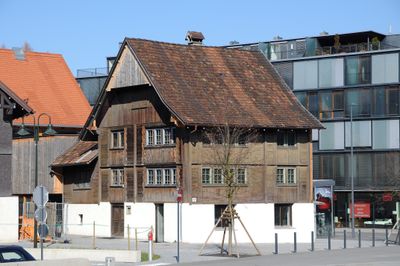
Bauernhaus, human settlement in Austria
Location: Dornbirn
Address: Eisengasse 11
GPS coordinates: 47.41524,9.74377
Latest update: March 3, 2025 19:08
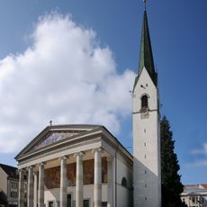
St. Martin parish church
251 m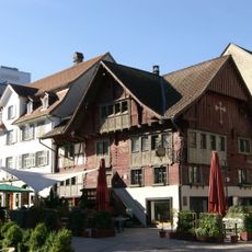
Red house
246 m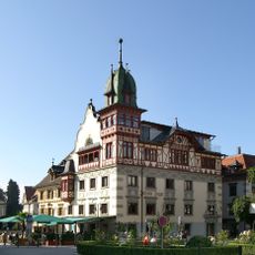
Johann-Luger-Haus
181 m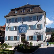
City Museum Dorbirn
184 m
Textile Patterns Archive
339 m
Archiv der Stadt Dornbirn
187 m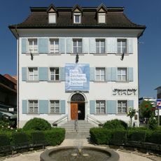
Lorenz-Rhomberg-Haus
176 m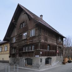
Klostergasse 1
169 m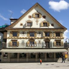
Feurstein-Haus
183 m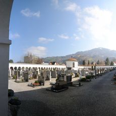
Friedhof Markt
269 m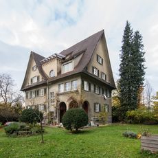
Bergmannstrasse 4
401 m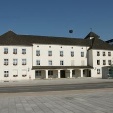
Town hall Dornbirn
227 m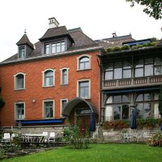
Bahnhofstrasse 7
298 m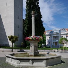
St. Martinsbrunnen (Dornbirn)
192 m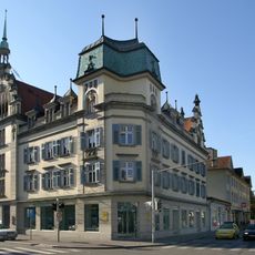
Hotel Rhomberg
305 m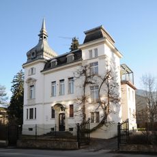
Villa Schwendinger
266 m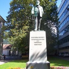
Johann Georg Waibel Denkmal
262 m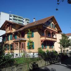
Villa Auf der Flur
294 m
Marktplatz 7
170 m
Wohnhaus
76 m
Marktplatz 14
245 m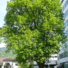
Natural monument Tilia sp (Dornbirn)
268 m
Franz-Michael-Felder-Straße 5
317 m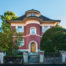
Villa
156 m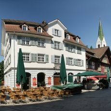
Alte Schreibstube Herrburger und Rhomberg
249 m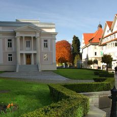
Pfarrhof St. Martin
229 m
Bahnhofstrasse 17
343 m
Wohn- und Geschäftshaus Waibel
352 mReviews
Visited this place? Tap the stars to rate it and share your experience / photos with the community! Try now! You can cancel it anytime.
Discover hidden gems everywhere you go!
From secret cafés to breathtaking viewpoints, skip the crowded tourist spots and find places that match your style. Our app makes it easy with voice search, smart filtering, route optimization, and insider tips from travelers worldwide. Download now for the complete mobile experience.

A unique approach to discovering new places❞
— Le Figaro
All the places worth exploring❞
— France Info
A tailor-made excursion in just a few clicks❞
— 20 Minutes