
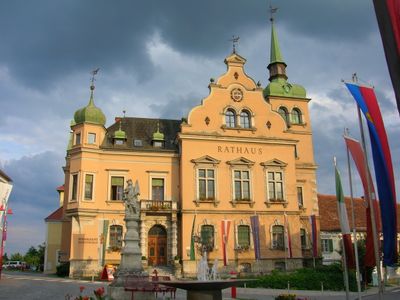
Rathaus/Gemeindeamt, building in Gleisdorf, Austria
Location: Gleisdorf
Address: Florianiplatz 13
GPS coordinates: 47.10474,15.71160
Latest update: March 5, 2025 03:14
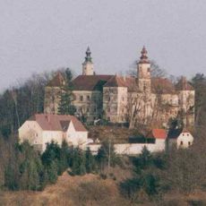
Schloss Freiberg
3.4 km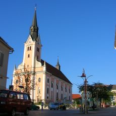
Stadtpfarrkirche Gleisdorf
153 m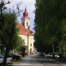
Mariä Reinigung, Gleisdorf
544 m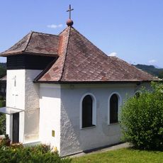
Christuskirche Gleisdorf
597 m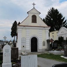
Friedhof mit Friedhofskapelle
445 m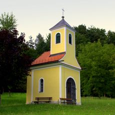
Rupertikapelle, Postelgraben
4 km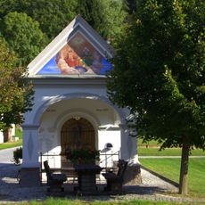
Ortskapelle Urscha
1.8 km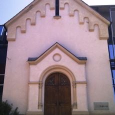
Ehem. Dominikanerinnenkloster, ehem. Marienkapelle
93 m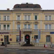
Bankgebäude, Sparkasse
110 m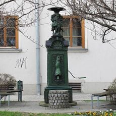
Brunnen
526 m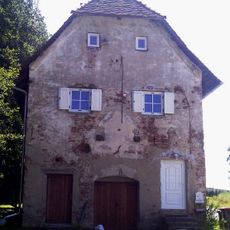
Kellerstöckl, Ludersdorf
3.2 km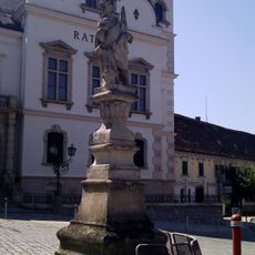
Figurenbildstock hl. Florian
25 m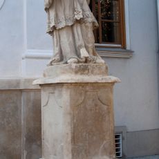
Figurenbildstock hl. Johannes Nepomuk
527 m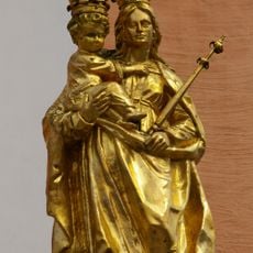
Mariensäule/Türkensäule und 4 Figurenbildstöcke
151 m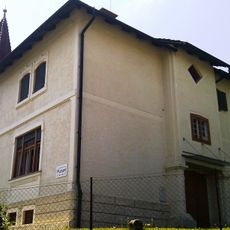
Evang. Pfarramt, sog. Villa Sullivan
593 m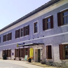
Ehem. Dominikanerinnenkloster, ehem. Treffenschädelsches Haus
58 m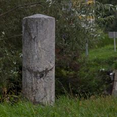
Meilenstein
1 km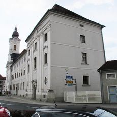
Gericht, ehem. Piaristenkloster
543 m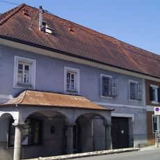
Wohn- und Geschäftshaus
182 m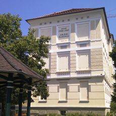
Schule
381 m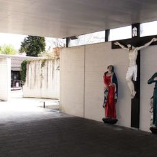
Kreuzigungsgruppe
370 m
Ehem. Dominikanerinnenkloster, ehem. Internat
93 m
Pfarrhof
198 m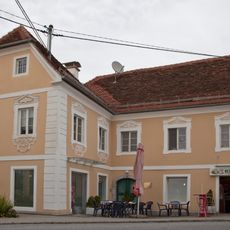
Ehem. Bäckerhaus
296 m
Sog. Josefshaus
40 m
Wohnhaus
41 m
Bürgerhaus
264 m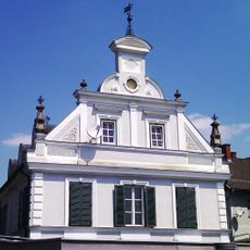
Kulturkeller der Stadt Gleisdorf
621 mReviews
Visited this place? Tap the stars to rate it and share your experience / photos with the community! Try now! You can cancel it anytime.
Discover hidden gems everywhere you go!
From secret cafés to breathtaking viewpoints, skip the crowded tourist spots and find places that match your style. Our app makes it easy with voice search, smart filtering, route optimization, and insider tips from travelers worldwide. Download now for the complete mobile experience.

A unique approach to discovering new places❞
— Le Figaro
All the places worth exploring❞
— France Info
A tailor-made excursion in just a few clicks❞
— 20 Minutes