
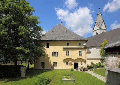
Pfarrhof und Wirtschaftsgebäude, building in Tragöß-Sankt Katharein, Austria
Location: Tragöß-Sankt Katharein
Address: Oberort 14
GPS coordinates: 47.53306,15.07903
Latest update: April 23, 2025 01:19
Messnerin
3 km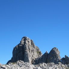
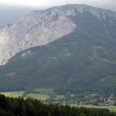
TAC-Spitze
7.7 km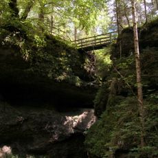
Marienklamm, Tragöß
1.6 km
Griesmauerkogel
7.5 km
Pribitz
2.7 km
Filialkirche hl. Ägydius, St. Ilgen
6.7 km
Kath. Filialkirche hl. Anna und Kruzifix
7.3 km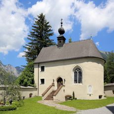
Antoniuskapelle
43 m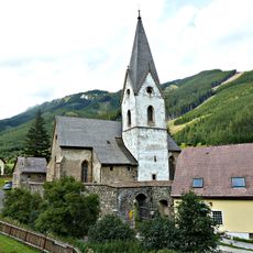
Saint Lawrence Church
7.8 km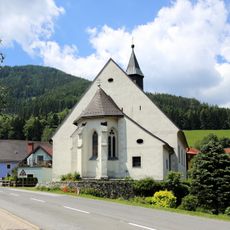
Nikolauskirche, Tragöß
2.9 km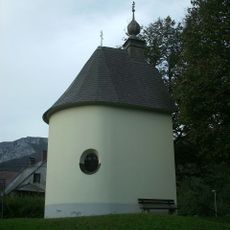
Lindenhofkapelle, Kalvarienbergkapelle
1.3 km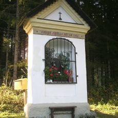
Ägydiuskapelle St.Ilgen
7.6 km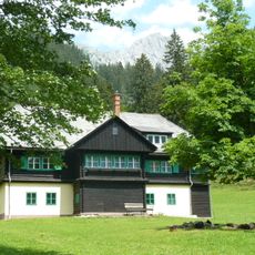
Bauernhof (Anlage) Lahnhube
4.4 km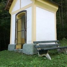
Bildstock St. Ilgen
6.4 km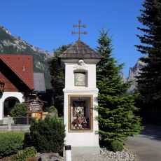
Bildstock
134 m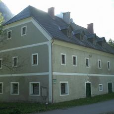
Bauernhaus, Moarhaus
6.2 km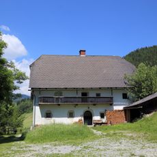
Bauernhof (Anlage), Leisenberger/Kuhnes
6.3 km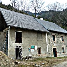
Maschinenhaus Glaslbremse
7.6 km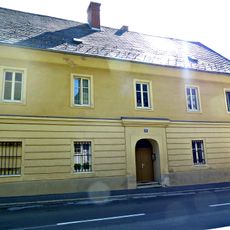
Pfarrhof
7.9 km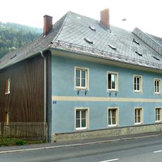
Ehem. Volksschule
7.9 km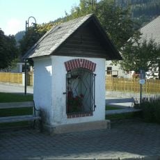
Bildstock mit Kruzifix
7.2 km
Köchlmeiergut, ehem. Bürgerspital
7.7 km
Mesnerhaus
7.8 km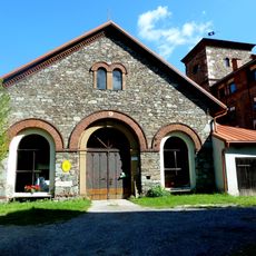
Ehem. Radwerk I mit Kohlbarren, Gußhalle und Gartentor
7.9 km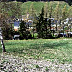
Erzmagazin Alte Schönauhalde
7.7 km
Erzmagazin Neue Schönauhalde
7.8 km
Ehem. Röstofen, sog. Laurenzi-Röst
7.7 km
Gewerkenhaus Rötzhube
7.1 kmReviews
Visited this place? Tap the stars to rate it and share your experience / photos with the community! Try now! You can cancel it anytime.
Discover hidden gems everywhere you go!
From secret cafés to breathtaking viewpoints, skip the crowded tourist spots and find places that match your style. Our app makes it easy with voice search, smart filtering, route optimization, and insider tips from travelers worldwide. Download now for the complete mobile experience.

A unique approach to discovering new places❞
— Le Figaro
All the places worth exploring❞
— France Info
A tailor-made excursion in just a few clicks❞
— 20 Minutes