
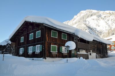
Bauernhof, human settlement in Austria
Location: Dalaas
Address: Wald am Arlberg 12
GPS coordinates: 47.13054,10.03111
Latest update: March 21, 2025 19:42
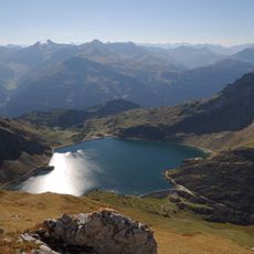
Spullersee
5.3 km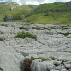
Steinernes Meer
3.8 km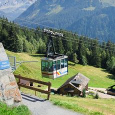
Kristbergbahn
5.5 km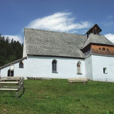
Kristbergkirche
4.4 km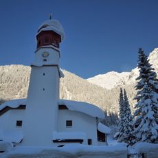
Pfarrkirche hl. Johannes der Täufer, Klösterle
4.6 km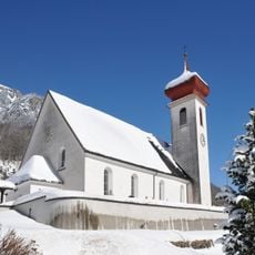
Pfarrkirche hl. Oswald und Friedhof, Dalaas
2.8 km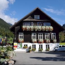
Montafoner Bergbaumuseum Silbertal
5.6 km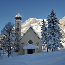
Pfarrkirche Wald am Arlberg
174 m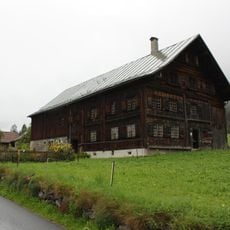
Klostertal-Museum
38 m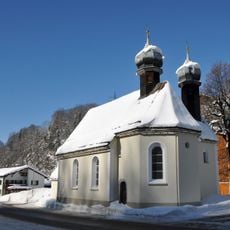
Kirche hl. Kreuz, Dalaas
2.6 km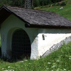
Klösterle Kapelle 14 Nothelfer
5.3 km
St. Mary chapel in Sonnenhalb
1.8 km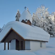
Kapelle Mariahilf, Dalaas
1.3 km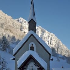
Kapelle Schmerzhafte Maria, Klösterle
2.7 km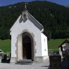
Klösterle Lourdeskapelle
4.5 km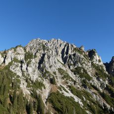
Blisadona
5.6 km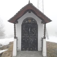
Flur-/Wegkapelle, hl. Sebastian
1.1 km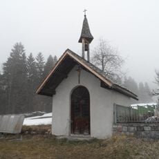
Flur-/Wegkapelle, hl. Martin
267 m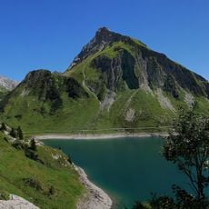
Goppelspitze
5.5 km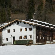
Bauernhaus
335 m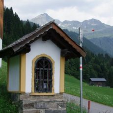
Silbertal Bildstock 88326
4.7 km
Klösterle Wartes Stall
4.5 km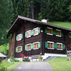
Bürgerhaus, Wohnhaus
5.6 km
Klostertaler Bergwälder
5.6 km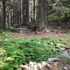
Einsiedelei, Bruderhüsle, Ruine Eckhartsklause
4.2 km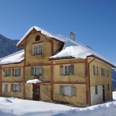
Pfarrhof
2.9 km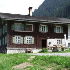
Former rectory Silbertal
5.7 km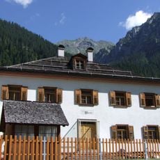
Klösterle Haus Wartes
4.5 kmReviews
Visited this place? Tap the stars to rate it and share your experience / photos with the community! Try now! You can cancel it anytime.
Discover hidden gems everywhere you go!
From secret cafés to breathtaking viewpoints, skip the crowded tourist spots and find places that match your style. Our app makes it easy with voice search, smart filtering, route optimization, and insider tips from travelers worldwide. Download now for the complete mobile experience.

A unique approach to discovering new places❞
— Le Figaro
All the places worth exploring❞
— France Info
A tailor-made excursion in just a few clicks❞
— 20 Minutes