
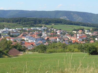
Unterbergern, locality and cadastral community in Krems District
Location: Bergern im Dunkelsteinerwald
Elevation above the sea: 305 m
GPS coordinates: 48.37639,15.54861
Latest update: March 12, 2025 21:58
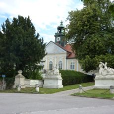
Schloss Baumgarten
2.4 km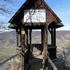
Ferdinand-Warte
712 m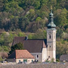
Parish church St. Quirinus
1.3 km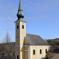
Pfarrkirche Unterbergern
13 m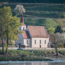
Filialkirche Hundsheim
1.3 km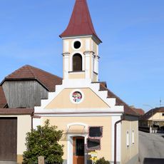
Ortskapelle Oberbergern
1.8 km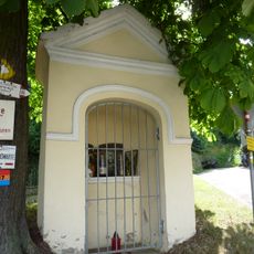
Wegkapelle
1 km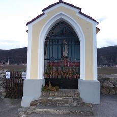
Michaelerkreuz Unterloiben
1.8 km
Höhereck
2.3 km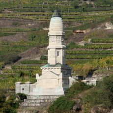
Franzosendenkmal, Dürnstein
2.1 km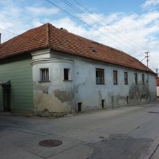
Bauernhof (Anlage)
1.2 km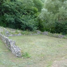
Römischer Burgus Windstalgraben
2.1 km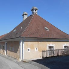
Former rectory Unterbergern
59 m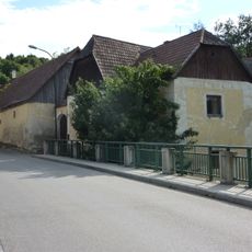
Bauernhof (Anlage)
1.1 km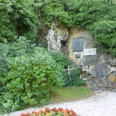
Kriegerdenkmal Mauternbach
1 km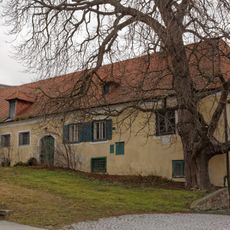
Ehem. Hauerhof „Dinstl-Gut“
1.7 km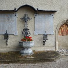
Kriegerdenkmal
1.3 km
Römerstraße Mauternbach
930 m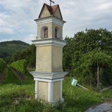
Bildstock, Ladoschenkreuz
2.1 km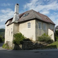
Ehem. St. Pöltner Hof
1.1 km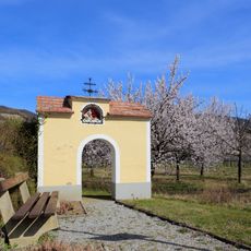
Ratscherkreuz Oberloiben
1.7 km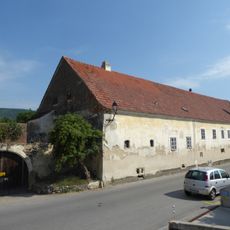
Mauternbach 6
1.3 km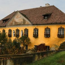
Pichlhof
1.7 km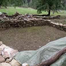
Hofwüstung Ginglsee
1.7 km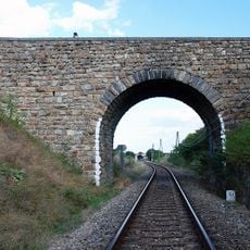
Eisenbahnstrecke der Wachauer Bahn
1.7 km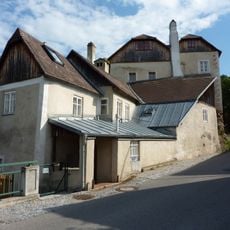
Mauternbach 18
1.1 km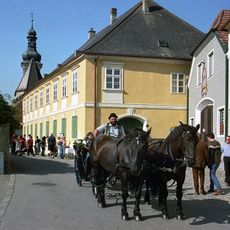
Pfarrhof
1.3 km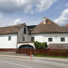
Anlage Guts-/Winzerhof Rothenhof 6
1.9 kmReviews
Visited this place? Tap the stars to rate it and share your experience / photos with the community! Try now! You can cancel it anytime.
Discover hidden gems everywhere you go!
From secret cafés to breathtaking viewpoints, skip the crowded tourist spots and find places that match your style. Our app makes it easy with voice search, smart filtering, route optimization, and insider tips from travelers worldwide. Download now for the complete mobile experience.

A unique approach to discovering new places❞
— Le Figaro
All the places worth exploring❞
— France Info
A tailor-made excursion in just a few clicks❞
— 20 Minutes