
Steinhof, cadastral municipality in Baden District
Location: Hernstein
Shares border with: Grillenberg, Veitsau
GPS coordinates: 47.93333,16.08333
Latest update: March 22, 2025 12:06
Stilklassen
1.7 km
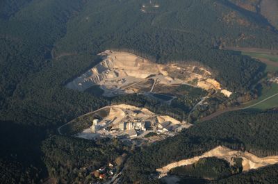
Hohe Mandling
7 km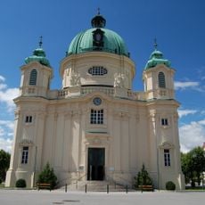
Berndorf parish church
1.8 km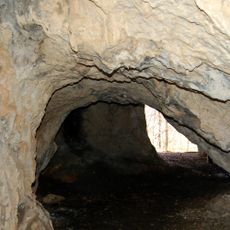
NÖ-Naturdenkmal BN-093 Hohlur - Naturhöhle
3.2 km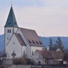
Pfarrkirche Grillenberg
710 m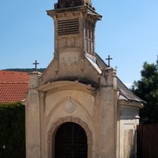
Ortskapelle Veitsau
1.2 km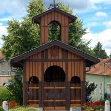
Kapelle
2.1 km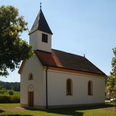
Ortskapelle
2.3 km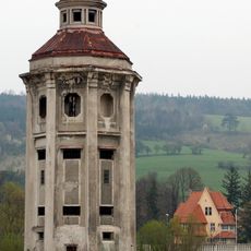
Water tower Zimmermann
2.3 km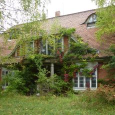
Villa Kuhlmann, Berndorf
1.4 km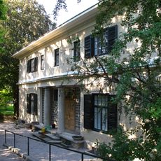
Hauch mansion
2 km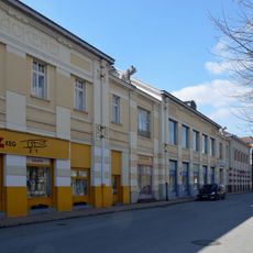
Former Konsumanstalt, Schwarz- und Weißbäckerei, Wurstfabrik der Berndorfer Metallwarenfabrik
2.2 km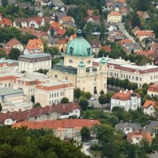
Margaretenplatz ensemble in Berndorf
1.8 km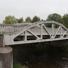
Visintini bridge, Pottenstein
2.7 km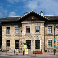
Bahnhof Berndorf Stadt
2.3 km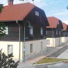
Arbeitersiedlung Sechshaus, Berndorf
2.1 km
Brunntalhof
2.1 km
Arbeitersiedlung Vierhaus
2.1 km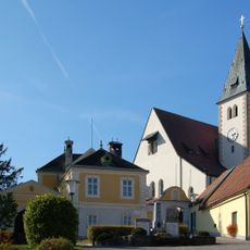
Pfarrhof
733 m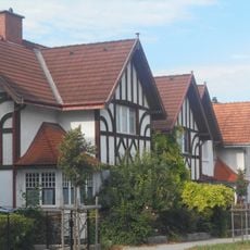
Kruppsche Werksiedlung - Wohnhäuser Beamtensiedlung, Berndorf
1.9 km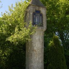
Bildstock
1.3 km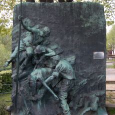
Bronzerelief „Strandgut“
2.3 km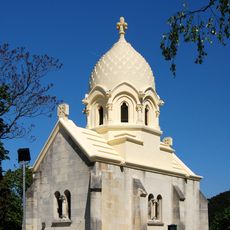
Krupp-Mausoleum
1.8 km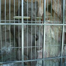
Sog. „Wehrbär“ und Bärenhöhle
1.7 km
Wasserturm der ehem. Zimmermann-Fleischwerke
2.3 km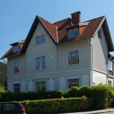
Bürgerhaus, Wohnhaus des Schulzahnarztes
1.9 km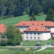
Arbeitersiedlung Neue Kolonie
1.2 km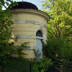
Wasserturm
1.2 kmReviews
Visited this place? Tap the stars to rate it and share your experience / photos with the community! Try now! You can cancel it anytime.
Discover hidden gems everywhere you go!
From secret cafés to breathtaking viewpoints, skip the crowded tourist spots and find places that match your style. Our app makes it easy with voice search, smart filtering, route optimization, and insider tips from travelers worldwide. Download now for the complete mobile experience.

A unique approach to discovering new places❞
— Le Figaro
All the places worth exploring❞
— France Info
A tailor-made excursion in just a few clicks❞
— 20 Minutes