
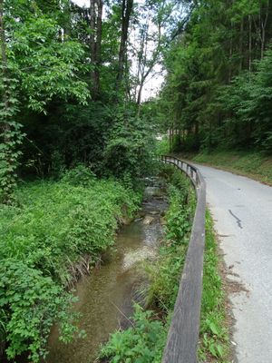
Arzbach, Creek and tributary of the Übelbach in the district Graz-Umgebung in Styria
Location: Deutschfeistritz
Location: Frohnleiten
Location: Übelbach
GPS coordinates: 47.22060,15.29156
Latest update: October 29, 2025 18:35
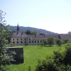
Schloss Waldstein
235 m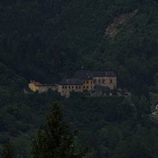
Burg Rabenstein, Frohnleiten
3.2 km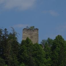
Burg Waldstein
1.2 km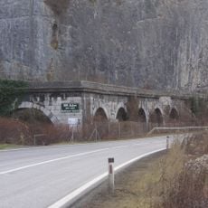
Badlwandgalerie
3.7 km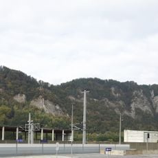
Kugelstein
3.3 km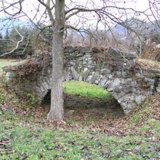
Römerbrücke, Adriach
2.9 km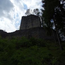
Hungerturm
846 m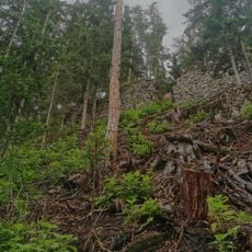
Ruine Henneberg
1.6 km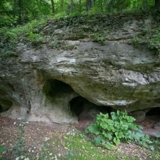
Kugelsteinhöhle I
3.5 km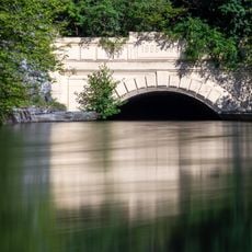
Stollenportal des Kraftwerks Peggau-Deutschfeistritz
3.3 km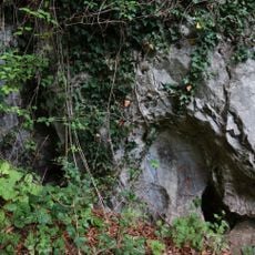
Buchenhöhle
3.4 km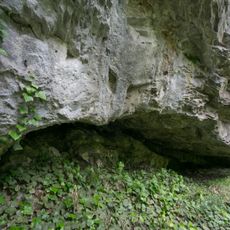
Schichtfugenhöhle
3.7 km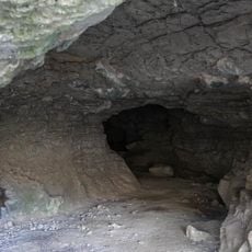
Kugelsteinhöhle II
3.4 km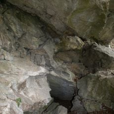
Schichtgrenzhöhle
3.3 km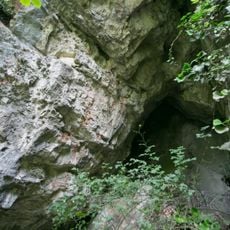
Nischenhöhle
3.7 km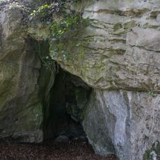
Kluftfugenhöhle
3.4 km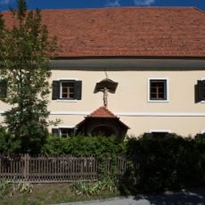
Schackhof Prenning
1.8 km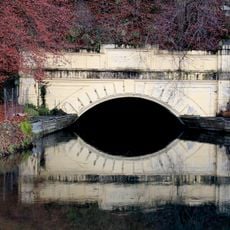
Stollenportal des Kraftwerks Peggau-Deutschfeistritz
3.1 km
Tempelanlage und Befestigung, Adriach
3.5 km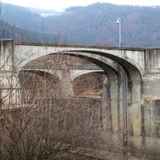
Wehranlage Adriach
2.6 km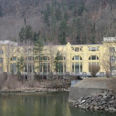
Old power plant building Deutschfeistritz
3.6 km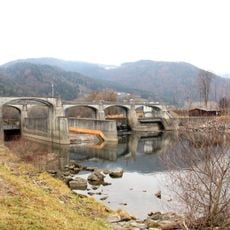
Kraftwerk Peggau-Deutschfeistritz
2.6 km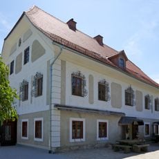
Altes Hammerherrenhaus Übelbach
3.8 km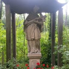
Johannes-Nepomuk-Bildstock, Waldstein
1.2 km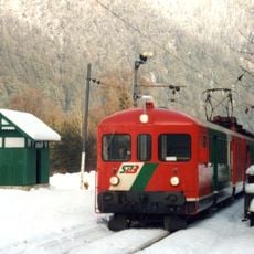
Wartehaus Waldstein
137 m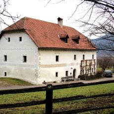
Sogen. Heumannhof
2.3 km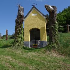
Kapelle Am Kirchberg
3.4 km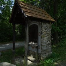
Bildstock Am Eichberg
2.5 kmReviews
Visited this place? Tap the stars to rate it and share your experience / photos with the community! Try now! You can cancel it anytime.
Discover hidden gems everywhere you go!
From secret cafés to breathtaking viewpoints, skip the crowded tourist spots and find places that match your style. Our app makes it easy with voice search, smart filtering, route optimization, and insider tips from travelers worldwide. Download now for the complete mobile experience.

A unique approach to discovering new places❞
— Le Figaro
All the places worth exploring❞
— France Info
A tailor-made excursion in just a few clicks❞
— 20 Minutes