Frohnleiten, municipality in Graz-Umgebung District, Styria, Austria
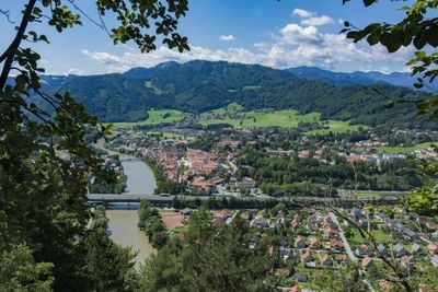
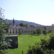
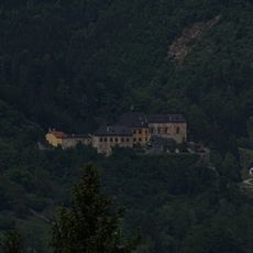
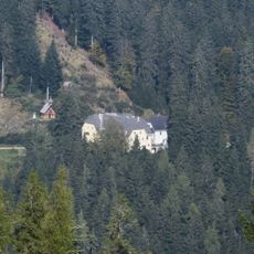
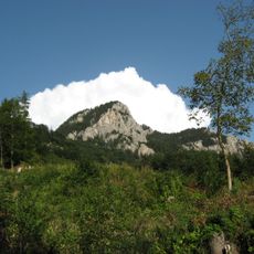
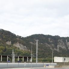
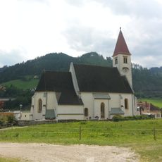
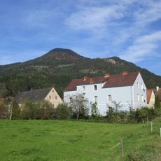
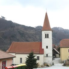
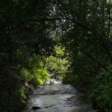
Frohnleiten is a small town in Austria along the Mur River in Styria, with an old town center featuring colorful townhouses and quiet streets arranged around the main square with its historic Mariensäule column. The town is surrounded by gentle hills, forests, and pastures, with the Mur promenade offering a peaceful riverside walk.
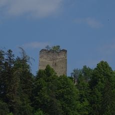
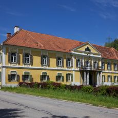
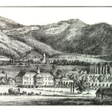
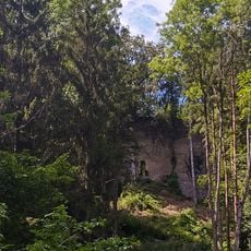
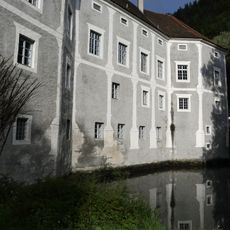
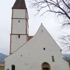
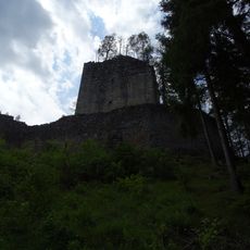
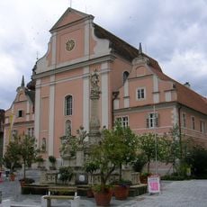
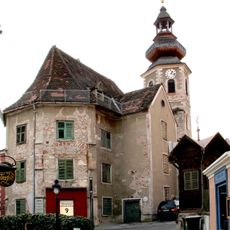
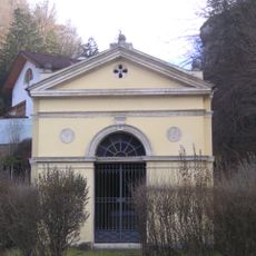
Frohnleiten was founded over 700 years ago and once served as an important regional administrative center with granted town rights and privileges. The town displays its history through preserved buildings such as the Baroque Church of Maria Himmelfahrt and the remains of a 15th century defensive wall that can still be seen along some streets.
The name Frohnleiten reflects the town's historical role as a regional administrative center. Today this heritage appears in how locals use the main square as a gathering place for daily meetings and community celebrations, keeping the tradition of shared town life alive.
Frohnleiten is easily accessible by bus and train from nearby Graz and other neighboring towns, with various accommodation options ranging from simple guesthouses to more comfortable hotels. The main square is a good starting point for exploring, and the flat riverside promenade paths are suitable for visitors of all abilities.
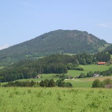
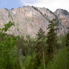
The town provides access to the nearby Lake Teichalm, a quiet body of water with meadows for relaxing and watching birds and wildlife in their natural setting. This lesser-visited natural corner lies within easy reach and offers peaceful moments away from the town center.
The community of curious travelers
AroundUs brings together thousands of curated places, local tips, and hidden gems, enriched daily by 60,000 contributors worldwide.