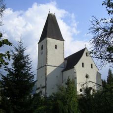
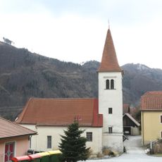
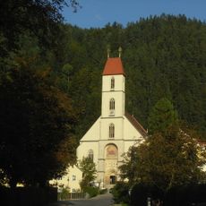
Röthelstein, Mountain summit in Pernegg an der Mur, Austria
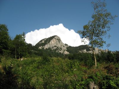
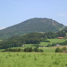
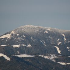
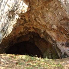
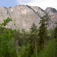
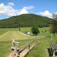
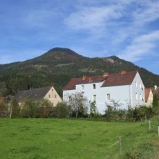
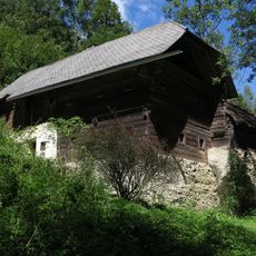
Röthelstein is a mountain in the Grazer Bergland range in Styria, with its summit reaching approximately 1,260 meters and marked by exposed rock formations at the peak. The slopes are covered by forest that extends nearly to the top, making the ascent a woodland walk for most of the way.
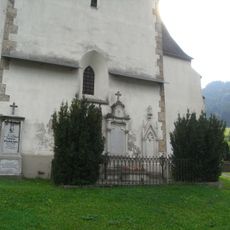
The mountain was part of an independent municipality called Röthelstein until 2015, when administrative reforms merged it with Frohnleiten. This reorganization combined several small communities in the region into a single larger municipality.
The summit serves as a meeting point for local walkers who follow age-old paths connecting nearby villages across the slopes. These routes reflect how communities have moved through the landscape for centuries.
Several marked hiking trails lead to the summit from Pernegg an der Mur, with the main route taking about three hours through forested sections. The paths are clearly marked, making them easy to follow for walkers of average fitness.
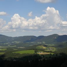
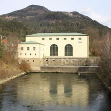
From the summit, visitors can observe both the Mur River valley and the surrounding mountain peaks simultaneously, positioning this viewpoint at the center of the landscape. This panoramic view allows walkers to see how the entire mountain range relates to each other.
The community of curious travelers
AroundUs brings together thousands of curated places, local tips, and hidden gems, enriched daily by 60,000 contributors worldwide.