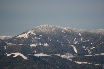
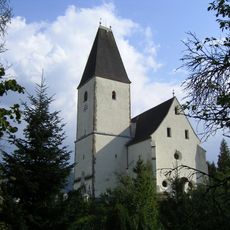
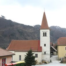
Hochlantsch, Mountain summit in Breitenau am Hochlantsch, Austria.
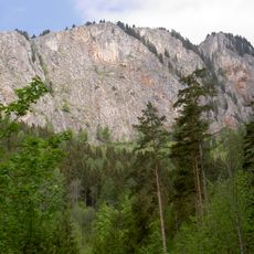
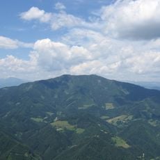
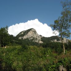
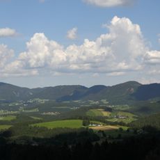
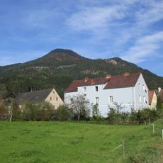
Hochlantsch is a mountain summit in the Grazer Bergland area of Styria, Austria, rising clearly above the rolling hills and forested slopes around Breitenau am Hochlantsch. The upper section opens up into rocky, treeless terrain, while the lower flanks are covered in dense forest with several marked trails leading to the top.
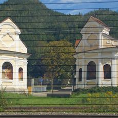
The mountain long served as a natural boundary marker between communities in the Styrian highlands, shaping how the surrounding land was divided and managed over centuries. Its name appears in old regional maps and land registers, pointing to its role as a recognized geographic reference well before modern times.
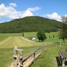
The summit draws hikers from across Styria, especially on weekends when the trails fill with people enjoying the open ridgeline views. Near the top, a simple mountain hut serves as a meeting point where walkers stop to rest before heading back down.
The summit can be reached from several starting points around Breitenau am Hochlantsch, and all routes are clearly marked along the way. In winter and early spring, the upper trails can be snowy and slippery, so sturdy footwear and a weather check before setting out are a good idea.
As you climb, the vegetation shifts noticeably from mixed forest to open rocky slopes, and some of the plant species found near the top are rarely seen elsewhere in the region. In late spring, patches of Alpine flowers appear along the upper trail, making that section of the walk particularly worth attention.
The community of curious travelers
AroundUs brings together thousands of curated places, local tips, and hidden gems, enriched daily by 60,000 contributors worldwide.