Gschaidberg, Mountain summit in Styrian Prealps, Austria.
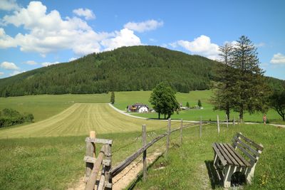
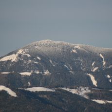
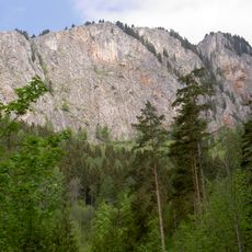
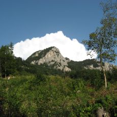
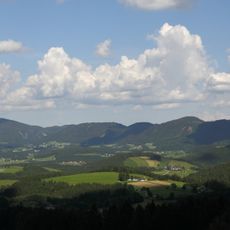
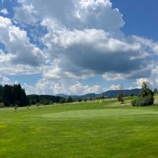
Gschaidberg is a mountain summit in the Styrian Prealps at 1239 meters, surrounded by views across nearby valleys and ridges. The peak features gentle slopes covered in meadows and forests that characterize the ascent from lower elevations.
The mountain served for centuries as a natural boundary between different territories in Styria, helping local communities navigate and understand their landscape. Its role as a landmark shaped how people moved through and organized the surrounding region.
Local hikers regularly gather here to walk together and share their connection to the Alps, keeping mountain traditions alive in the region. The summit has become a natural meeting point where neighbors and outdoor enthusiasts maintain their bonds through shared excursions.
The hike requires basic mountain gear and takes roughly two hours from the nearest parking area to reach the summit. The well-marked trail has gentle slopes that make it accessible to hikers with moderate experience.
The summit forms part of a circuit called Weg der 100000 Schritte, which connects eight different peaks across the Styrian Prealps in one extended hiking route. This trail combines multiple summits into a single long-distance adventure for dedicated hikers.
The community of curious travelers
AroundUs brings together thousands of curated places, local tips, and hidden gems, enriched daily by 60,000 contributors worldwide.