
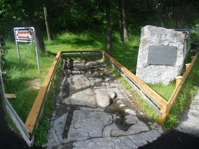
Römerstraße, Denkmalgeschütztes Objekt in Schönberg im Stubaital (103726)
Location: Schönberg im Stubaital
GPS coordinates: 47.19758,11.39775
Latest update: March 4, 2025 01:05
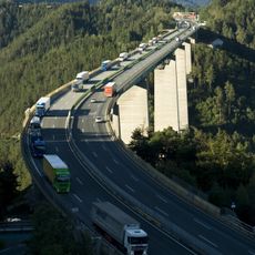
Europabrücke
606 m
Europakapelle
97 m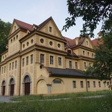
Ruetzkraftwerk
549 m
Stephansbrücke
1.6 km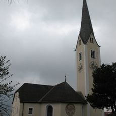
Pfarrkirche Patsch
1.5 km
Pfarrkirche hl. Kreuz, Schönberg im Stubaital
1.4 km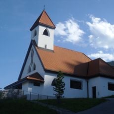
Kath. Filialkirche Herz-Jesu
1.6 km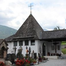
Friedhof christlich
1.4 km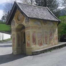
Schöberl-Kapelle
1.1 km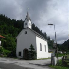
Kath. Filialkirche Mariä Himmelfahrt in Unterberg
1.1 km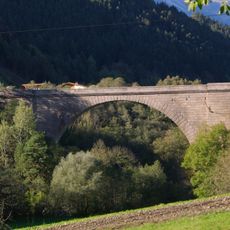
Stefansbrücke
1.6 km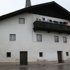
Patsch, Messnerhaus
1.5 km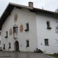
Bauernhaus Trolf
1.5 km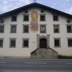
Bauernhaus, Stolzenhof
1.6 km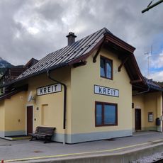
Bâtiment de la gare de Kreith
1.4 km
Wittingwarte
1.2 km
Bauernhaus, Schöberlhof
1 km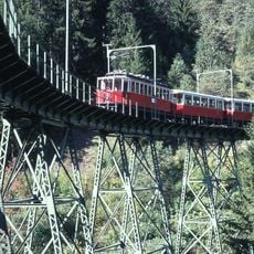
Kreither Viadukt, Mutters
1.5 km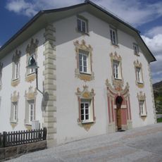
Widum
1.4 km
Patsch, Widum
1.4 km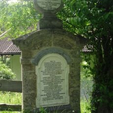
Sog. Papstl
1.5 km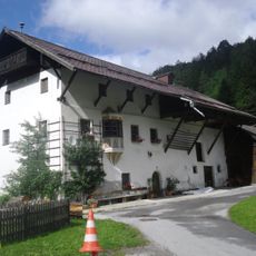
Wohnhaus, Nedlhaushof
1.2 km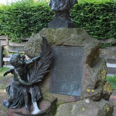
Kretschy-Denkmal
1.3 km
Gemeindeamt und Volksschule, ehem. Gasthof Domanig
1.4 km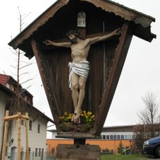
Kruzifix
1.6 km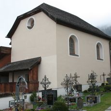
Patsch, Kornkasten
1.5 km
Zollerhof-Fassade
1.7 km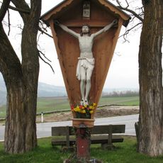
Wegkreuz
1.5 kmReviews
Visited this place? Tap the stars to rate it and share your experience / photos with the community! Try now! You can cancel it anytime.
Discover hidden gems everywhere you go!
From secret cafés to breathtaking viewpoints, skip the crowded tourist spots and find places that match your style. Our app makes it easy with voice search, smart filtering, route optimization, and insider tips from travelers worldwide. Download now for the complete mobile experience.

A unique approach to discovering new places❞
— Le Figaro
All the places worth exploring❞
— France Info
A tailor-made excursion in just a few clicks❞
— 20 Minutes