
Harrteich, pond in Litschau, Lower Austria
Location: Litschau
Elevation above the sea: 503 m
GPS coordinates: 48.88960,15.03260
Latest update: March 21, 2025 21:00

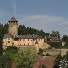
Altes Schloss
6.1 km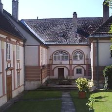
Kollegiatstift Eisgarn
5.8 km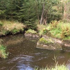
Dračice
4.6 km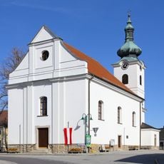
Saint Andrew Church
3.1 km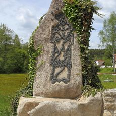
John of Nepomuk sculpture
4.7 km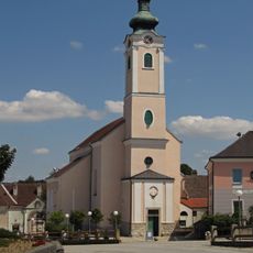
Kath. Pfarrkirche Mariä Himmelfahrt
5.8 km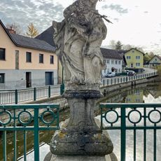
Steinfigurengruppe Heilige Anna Maria lesen lehrend
6.1 km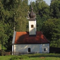
Ortskapelle Gopprechts
851 m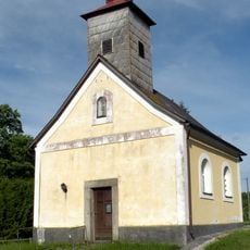
Ortskapelle Altmanns
4.7 km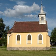
Ortskapelle Thaures (Gemeinde Heidenreichstein)
1.6 km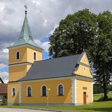
Ortskapelle Zum Guten Hirten
5 km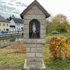
Bildstock
6.1 km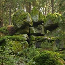
Geyersteine
3.5 km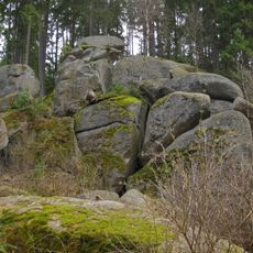
NÖ-Naturdenkmal GD-022 Felsgebilde Hinterpocher
6.1 km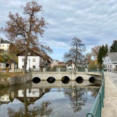
Straßenbrücke
6.1 km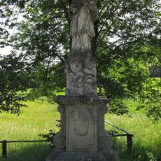
Figurenbildstock hl. Johannes Nepomuk
5.8 km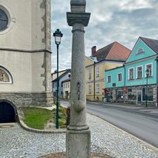
Pranger
6.2 km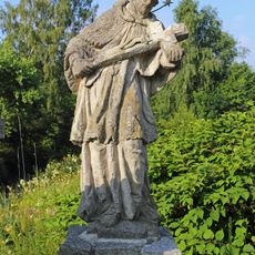
Figurenbildstock hl. Johannes Nepomuk
4.6 km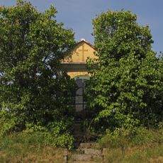
Bildstock
5.6 km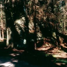
Kasiger Loa
4.2 km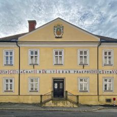
Pfarrhof Litschau
6.1 km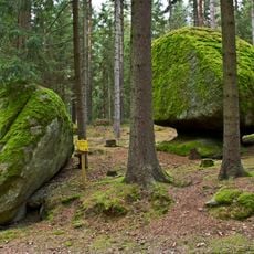
NÖ-Naturdenkmal GD-102 Felsgebilde Striezel und Scherzel
5.6 km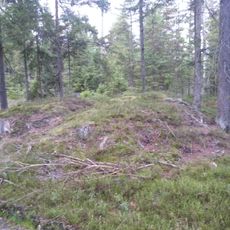
Gräberfeld (ohne Datierung), Hügelgräberfeld Hauslüss
3.4 km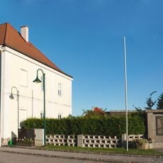
Pfarrhof
3.1 km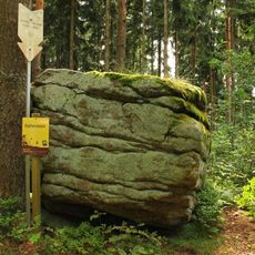
Alter Stein ("Old stone")
5.3 km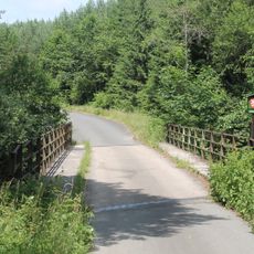
Most přes Dračici severovýchodně od Velkého Londonu
4.8 km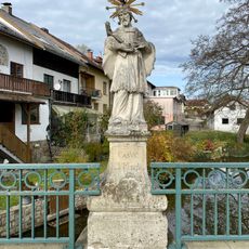
Johannes-Nepomuk-Statue
6.1 km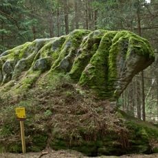
Gugelhupfstein
5.9 kmReviews
Visited this place? Tap the stars to rate it and share your experience / photos with the community! Try now! You can cancel it anytime.
Discover hidden gems everywhere you go!
From secret cafés to breathtaking viewpoints, skip the crowded tourist spots and find places that match your style. Our app makes it easy with voice search, smart filtering, route optimization, and insider tips from travelers worldwide. Download now for the complete mobile experience.

A unique approach to discovering new places❞
— Le Figaro
All the places worth exploring❞
— France Info
A tailor-made excursion in just a few clicks❞
— 20 Minutes