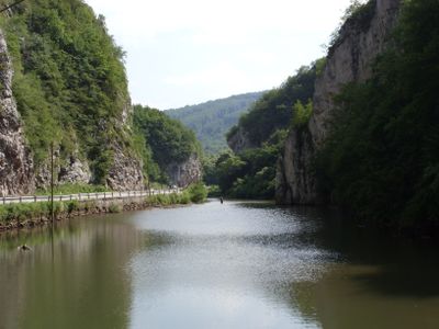
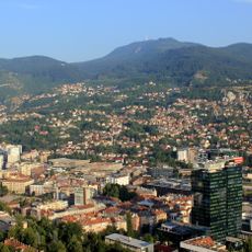
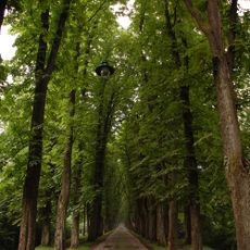
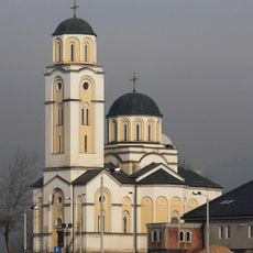
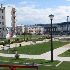
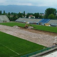
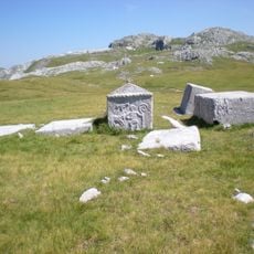
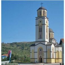
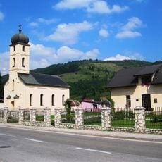
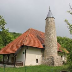
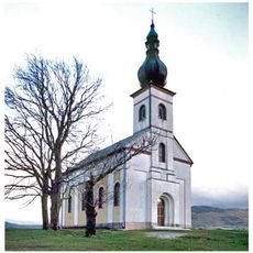
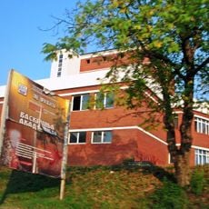
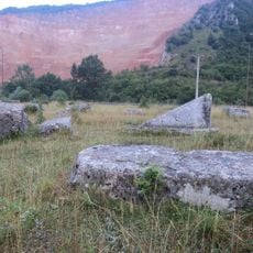
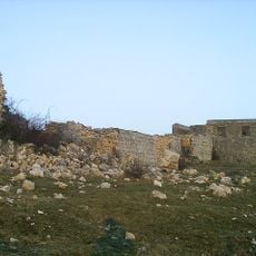
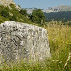
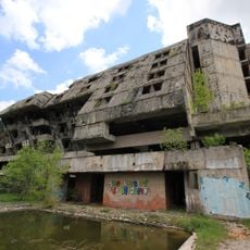
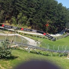
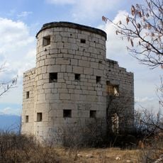
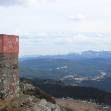
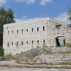
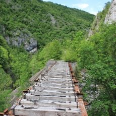
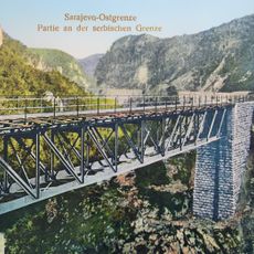
Trnovo Municipality, municipality of Bosnia and Herzegovina
Location: Sarajevo Canton
Shares border with: Foča-Ustikolina, Trnovo Municipality, Pale Municipality, Ilidža Municipality, Kalinovik Municipality, Foča-Ustikolina, Hadžići Municipality, City of Konjic
Website: http://trnovo.ba
GPS coordinates: 43.68860,18.33970
Latest update: March 4, 2025 15:43
Sarajevo Tunnel
14.6 km
Trebević
17.4 km
Tunnel of Salvation
14.6 km
Velika aleja
15.3 km
Saint Basil of Ostrog church (Istočno Sarajevo)
15.3 km
Gavrilo Princip park
14.8 km
City Stadium SRC Slavija
15.8 km
Poljice necropolis
14.8 km
Црква Вазнесења Господњег у Војковићима
12.2 km
Црква Светог великомученика Георгија у Трнову
9 km
Umoljani mosque
9.4 km
Crkvina stećaks necropolis and remains of a pre-Romanesque church
15.4 km
Црква Светог пророка Илије на Лукама
17 km
Umoljani necropolis
9.1 km
Klokočevica
4 km
Црква Светих апостола Петра и Павла у Калиновику
22.4 km
East Sarajevo Children's Library
15.1 km
Krupac necropolis
10.2 km
Fortress of Kalinovik
22.4 km
Gvozno graveyard
16.6 km
Hotel Igman
7.8 km
Sunnyland
18.1 km
Kula Palež
18 km
Trebević summit
17.4 km
Vraca Fort
17.9 km
Bistrica viaduct
20.2 km
Dobrik viaduct
19.9 km
Trebević (bukid)
17.4 kmReviews
Visited this place? Tap the stars to rate it and share your experience / photos with the community! Try now! You can cancel it anytime.
Discover hidden gems everywhere you go!
From secret cafés to breathtaking viewpoints, skip the crowded tourist spots and find places that match your style. Our app makes it easy with voice search, smart filtering, route optimization, and insider tips from travelers worldwide. Download now for the complete mobile experience.
A unique approach to discovering new places❞
— Le Figaro
All the places worth exploring❞
— France Info
A tailor-made excursion in just a few clicks❞
— 20 Minutes