Gornji Vakuf-Uskoplje Municipality
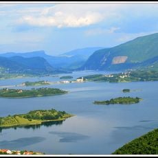
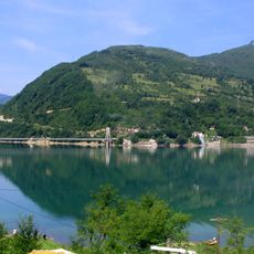
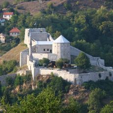
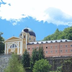
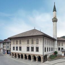
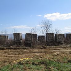
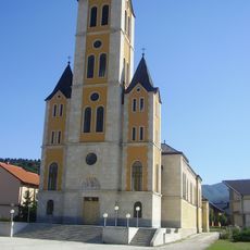
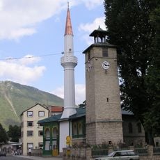
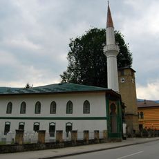
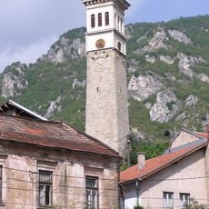
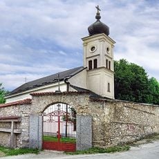
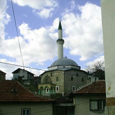
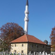
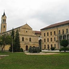
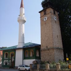
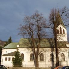
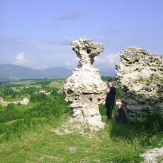
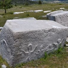
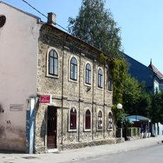
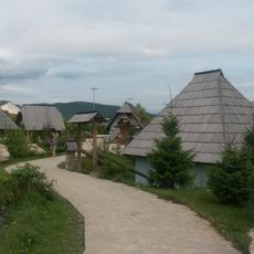
Gornji Vakuf-Uskoplje Municipality, municipality of Bosnia and Herzegovina
Location: Central Bosnia Canton
Location: Federation of Bosnia and Herzegovina
Inception: 1991
Capital city: Gornji Vakuf-Uskoplje
Shares border with: Kupres Municipality, Prozor-Rama, City of Konjic, Fojnica Municipality, Novi Travnik Municipality, Bugojno Municipality
GPS coordinates: 43.93333,17.60000
Latest update: March 10, 2025 09:17
Rama Lake
15.9 km
Jablanica lake
33.4 km
Travnik Castle
33.5 km
Franciscan friary in Fojnica
24 km
Mosque Sulejmanija
33 km
Necropolis for the victims of Fascism
30.2 km
Church of the Assumption of the Blessed Virgin Mary, Uskoplje
1.3 km
Saint Anthony of Padua church in Bugojno
18.2 km
Gradski Stadion Vitez
28.8 km
Clock tower in Gornja Čaršija (Travnik)
32.9 km
Hacı Ali Bey Mosque, Travnik
33 km
Clock tower in Musala (Travnik)
32.9 km
Crkva Uspenja presvete Bogorodice u Travniku
32.8 km
Yeni mosque
32.9 km
Kreševo Franciscan Convent
35.6 km
Dugopolje necropolis
29.9 km
Ahmed-aga mosque
29.1 km
Church of Saint Anthony of Padua, Busovača
29.2 km
Šćit
15.8 km
Hacı Ali Bey Camii, Travnik
32.9 km
Necropolis of Ravanjska Vrata
24.3 km
Clock Tower of Donji Vakuf
28.5 km
Roman Catholic St.John the Baptist church in Travnik
33.2 km
Fortress of Prusac
25.2 km
Nécropole de Risovac
29.3 km
Hafizadićův dům
33 km
Lončarica mosque
33.2 km
Ethno Village Čardaci
29.3 kmVisited this place? Tap the stars to rate it and share your experience / photos with the community! Try now! You can cancel it anytime.
Discover hidden gems everywhere you go!
From secret cafés to breathtaking viewpoints, skip the crowded tourist spots and find places that match your style. Our app makes it easy with voice search, smart filtering, route optimization, and insider tips from travelers worldwide. Download now for the complete mobile experience.
A unique approach to discovering new places❞
— Le Figaro
All the places worth exploring❞
— France Info
A tailor-made excursion in just a few clicks❞
— 20 Minutes