Habiganj District, Administrative district in Sylhet Division, Bangladesh
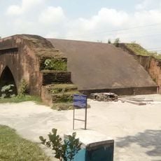
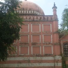
Habiganj District is an administrative region in Sylhet Division, northeastern Bangladesh, covering approximately 2,574 square kilometers. The area is characterized by several rivers and known for tea cultivation, agriculture, and natural gas resources.
The region was originally a subdivision before gaining district status in 1984, following administrative changes linked to the 1947 partition of British India. This transformation reflects the political shifts that reshaped the territory.
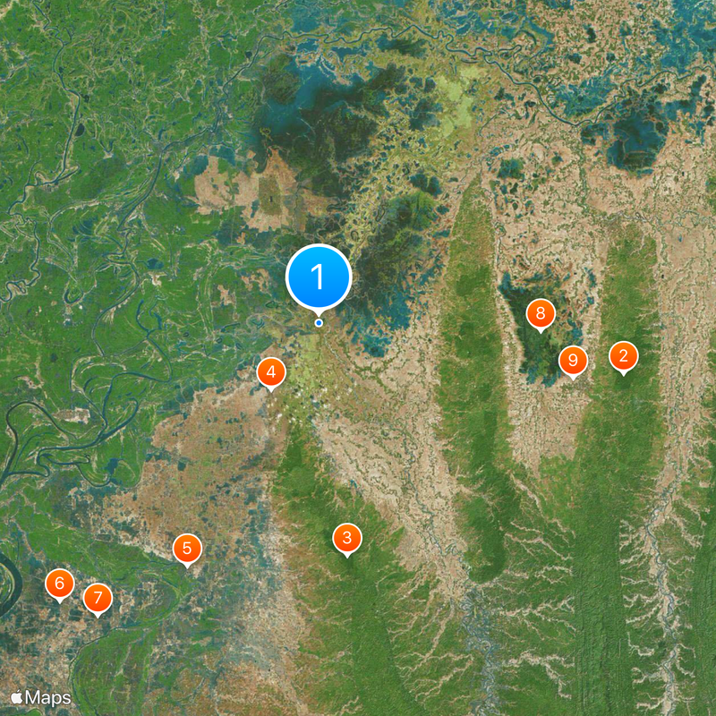
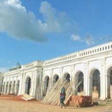
The population includes Bengali Muslims, Hindus, and indigenous communities such as the Khasia and Manipuri, each maintaining distinct traditions and customs. These groups shape the everyday life and local practices visible throughout the district.
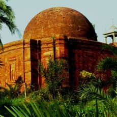
The area is primarily agricultural, with numerous schools and colleges distributed throughout the district. Visitors should expect warm, humid conditions and use local transportation to explore the wider region.
The region contains the Rashidpur gas field, a major economic driver since the 1960s. Alongside it, numerous tea gardens stretch across the landscape, shaping both the scenery and the local economy.
Location: Sylhet Division
Capital city: Habiganj
Shares border with: Sunamganj District, Netrokona District, Kishoreganj District, Brahmanbaria District, Sylhet District, Moulvibazar District
Website: http://habiganj.gov.bd
GPS coordinates: 24.37500,91.41670
Latest update: December 20, 2025 12:24
Lawachara National Park
37.7 km
Satchari National Park
28.6 km
Shankarpasha Shahi Masjid
10 km
Haripur Barabari
33.8 km
Arifil Mosque
46.4 km
Bariura Old Bridge
44.8 kmHail Haor Wildlife Sanctuary
27.1 km
Zoo - Sitesh Ranjan Deb (Wildlife Conservationist)
31.8 kmQutub Mosque
32.8 kmPro-Cathedral of the Divine Mercy, Moulvibazar
37.6 km
Borshijora Eco-Park
38.5 km
Arifail Shrine
46.3 kmBaikka Beel Visitor Centre
29.4 kmShaheed Minar
45.7 kmDharanti
40.1 kmObservation tower, scenic viewpoint, tower
28.9 kmObservation tower, scenic viewpoint, tower
29.2 kmHatirpool
44.7 kmAriphail Mazar
46.3 kmLawachara forest village
36.9 kmHaripur Zamidar Bari
33.8 kmKutub Shahi Mosque
32.8 kmHazrat Shah Sadruddin Qureshi (RAH)
21.4 kmMass killing ground 71
33.9 kmমুক্তিযোদ্ধা চত্তর
38.5 kmশহীদ মিনার
17.5 kmShaeed Mina
445 mBir Shrestho Hamidur Rahman Monument
45.1 kmVisited this place? Tap the stars to rate it and share your experience / photos with the community! Try now! You can cancel it anytime.
Discover hidden gems everywhere you go!
From secret cafés to breathtaking viewpoints, skip the crowded tourist spots and find places that match your style. Our app makes it easy with voice search, smart filtering, route optimization, and insider tips from travelers worldwide. Download now for the complete mobile experience.
A unique approach to discovering new places❞
— Le Figaro
All the places worth exploring❞
— France Info
A tailor-made excursion in just a few clicks❞
— 20 Minutes