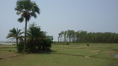
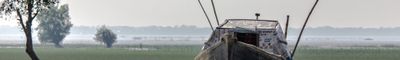
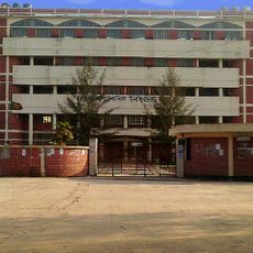
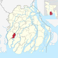
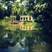
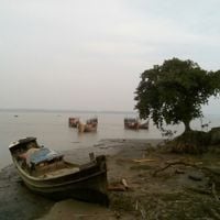
Barguna District, district in Bangladesh's Barisal Division
Location: Barisal Division
Inception: 1984
Capital city: Barguna
Elevation above the sea: 4 m
Shares border with: Bagerhat District, Pirojpur District, Jhalokati District, Barishal District, Patuakhali District
Website: http://barguna.gov.bd
GPS coordinates: 22.15080,90.12640
Latest update: December 27, 2025 17:35
BNS Sher-e-Bangla
25.3 km
Barguna Polytechnic Institute
3.6 km
Momin Mosque
32 km
Majidbaria Shahi Mosque
14.4 km
Bibi Chini Mosque
36.6 kmTengragiri Wildlife Sanctuary
26.7 km
Kuakata National Park
33.2 kmDudhmukhi Wildlife Sanctuary
35.9 kmJela Shilpokola Academy
32 kmআশার চর
31.2 kmBarguna Circuit House
747 mSuvo Sondha
25.7 kmTourist Spot
25.2 kmB - Type Mosque
31.1 kmWater Museum
23.1 kmLaldia Beach
25.7 kmআমতলী শিশু পার্ক
10.7 kmলালদিয়া সমুদ্র সৈকত
25.7 kmLal Kakrar Char, Kuakata
31.7 kmHaringhata Rederve Forest
26.8 kmAsar Char
21.3 kmFatrar Char
31.2 kmMomin Masjid
32 kmShadhinata Smriti Stombho
31.2 kmCentral Monument Patuakhali
32.3 kmRayenda Union Shaheed Minar
33.4 kmMonument
32.6 kmChar Ganga Matir Kella
34.4 kmVisited this place? Tap the stars to rate it and share your experience / photos with the community! Try now! You can cancel it anytime.
Discover hidden gems everywhere you go!
From secret cafés to breathtaking viewpoints, skip the crowded tourist spots and find places that match your style. Our app makes it easy with voice search, smart filtering, route optimization, and insider tips from travelers worldwide. Download now for the complete mobile experience.
A unique approach to discovering new places❞
— Le Figaro
All the places worth exploring❞
— France Info
A tailor-made excursion in just a few clicks❞
— 20 Minutes