Narail District

Log in to your account

AroundUs is a community-driven map of interesting places, built by curious explorers like you. It grows with every review, story, and photo you share.
Connect to save your favorite spots, contribute locations, and create personalized routes.
Continue with Google
Continue with Apple
Continue with X
Continue with Facebook
Continue with email
By continuing, you accept our Terms and Conditions and our Privacy Policy
Create an account
Add to collection
Map
Suggest a change
Share

Narail District, Administrative district in Khulna Division, Bangladesh.

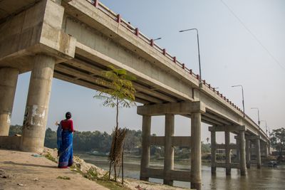
Narail is an administrative district in southwestern Bangladesh that is divided into three subdivisions, each with its own towns and rural areas. The district is connected by a network of regional highways and local roads that link its numerous villages and administrative units.

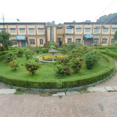
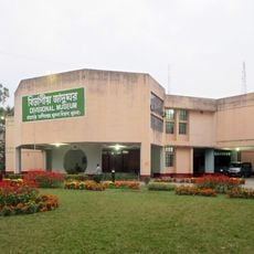
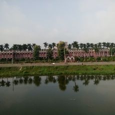
The district took shape under British colonial rule, when local landowners developed markets and educational institutions. This early growth established the basic structure and institutions that would define the area in later decades.

Mosques and temples are woven into daily community life, reflecting how different religious groups have lived alongside each other here. The presence of both buildings shows how residents of different faiths share the same spaces and towns.

Getting around the district is easiest by using local buses and taxis, since villages are connected by a network of roads. Visitors often find it helpful to rely on local transport options rather than arranging private vehicles for everyday travel.

A college founded in the mid-1800s still operates here and stands as one of the country's oldest modern educational institutions. It demonstrates how educational advancement reached this region much earlier than many might expect.

Location: Khulna Division

Capital city: Narail

Shares border with: Magura District, Faridpur District, Gopalganj District, Bagerhat District, Khulna District, Jashore District

Website: http://narail.gov.bd

GPS coordinates: 23.13000,89.50000

Latest update: December 28, 2025 01:26

Photos
Reviews

Visited this place? Tap the stars to rate it and share your experience / photos with the community! Try now! You can cancel it anytime.

« Narail District - Administrative district in Khulna Division, Bangladesh » is provided by Around Us (aroundus.com). Images and texts are derived from Wikimedia project under a Creative Commons license. You are allowed to copy, distribute, and modify copies of this page, under the conditions set by the license, as long as this note is clearly visible.

Discover hidden gems everywhere you go!

From secret cafés to breathtaking viewpoints, skip the crowded tourist spots and find places that match your style. Our app makes it easy with voice search, smart filtering, route optimization, and insider tips from travelers worldwide. Download now for the complete mobile experience.

Around Us App Screenshot

A unique approach to discovering new places

Le Figaro

All the places worth exploring

France Info

A tailor-made excursion in just a few clicks

20 Minutes