Enable Location

We need your location to show you interesting places around you

Discover nearby places

Find interesting locations and hidden gems around you

Precise directions

Get accurate directions and distances to places

Your location is never shared with other users. It's only used when you tap the location button.

Log in to your account

Start exploring — it's free

Trusted by 61,660 travelers worldwide

Continue with Google
Continue with Apple
or

We will send you a code to connect

By continuing, you accept our Terms and Conditions and our Privacy Policy

Check your inbox

We've sent a pincode in your inbox. Please enter the code below.

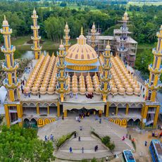
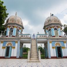
Jamalpur District, Administrative district in Mymensingh Division, Bangladesh.

Description

Jamalpur is an administrative district in Mymensingh Division, spanning roughly 2,115 square kilometers between coordinates 24°34' North and 89°40' East. The area borders India's Meghalaya state and contains seven subdivisions with 68 union councils and around 1,532 villages.

History

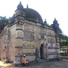
The district was established in 1978 and named after Shah Jamal, a Yemeni Sufi saint. It was previously known by the name Singhjani before receiving its current designation.

Culture

Communities here celebrate boat races on the Jamuna River during monsoon season and maintain traditions like horse racing and bullfighting. These events shape local life and bring people together throughout the year.

Practical

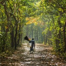
Visitors find a mix of rural villages and smaller urban centers scattered throughout, with the Jamuna River serving as an important feature for transport and local commerce. Travel is most manageable outside the monsoon season when roads are more accessible.

Did you know?

The region is known for producing nakshi kantha, intricately embroidered quilts created by craftspeople with traditional patterns. At the same time, the district plays an important role in agriculture, particularly in growing jute, tobacco, and mustard seeds.

Capital city
Jamalpur
Shares border with
Kurigram District, Gaibandha District, Bogura District, Sirajganj District, Tangail District, Mymensingh District, Sherpur District
GPS coordinates
24.92000,89.96000
Latest update
December 20, 2025 15:40

AroundUs brings together thousands of curated places, local tips, and hidden gems, enriched daily by 60,000 contributors worldwide. Discover all places nearby (Mymensingh Division).

« Jamalpur District - Administrative district in Mymensingh Division, Bangladesh » is provided by Around Us (aroundus.com). Images and texts are derived from Wikimedia project under a Creative Commons license. You are allowed to copy, distribute, and modify copies of this page, under the conditions set by the license, as long as this note is clearly visible.

Discover hidden gems everywhere you go!

From secret cafés to breathtaking viewpoints, skip the crowded tourist spots and find places that match your style. Our app makes it easy with voice search, smart filtering, route optimization, and insider tips from travelers worldwide. Download now for the complete mobile experience.

Around Us App Screenshot

A unique approach to discovering new places

Le Figaro

All the places worth exploring

France Info

A tailor-made excursion in just a few clicks

20 Minutes

Around Us
Travel Guide & Maps
Download

Send to your phone

QR Code
1

Open the camera app on your mobile.

2

Point at the QR code with your camera. A notification will appear.

3

Tap the notification to open the link.